Maine Through a Lens
Photo Gallery
Scenes from Maine's trails in every season.
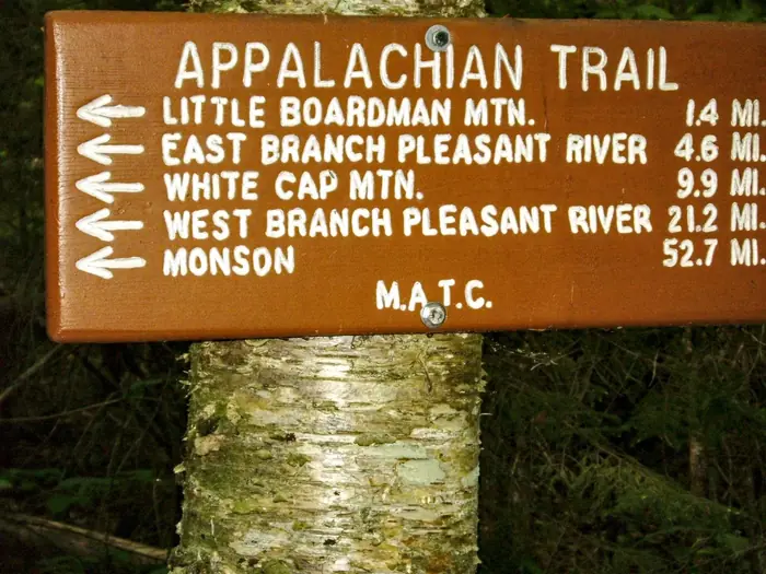
10 Miles In — 100 Mile Wilderness
15 Miles In — 100 Mile Wilderness
3 Miles In — 100 Mile Wilderness
Abol 6 Miles — 100 Mile Wilderness
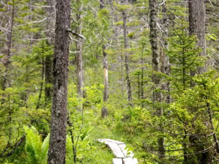
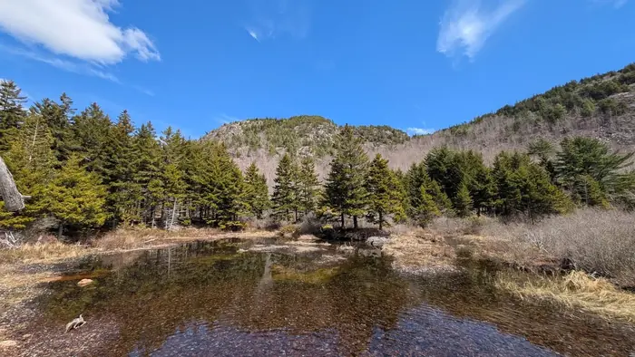
At Bog Hike — 100 Mile Wilderness
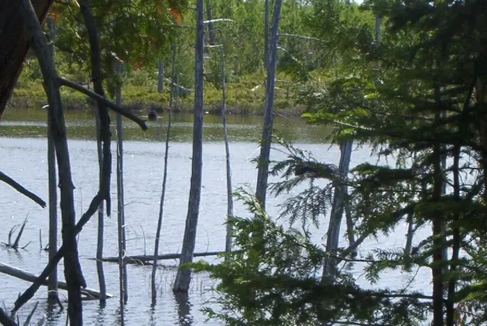
At Bog — 100 Mile Wilderness
Barren Mt 2 — 100 Mile Wilderness
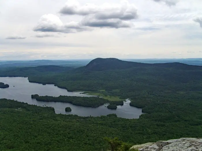
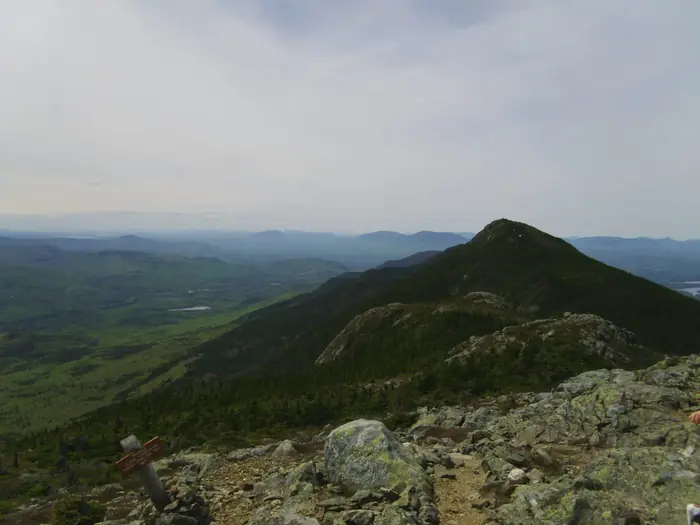
Barren Mt Peak — 100 Mile Wilderness
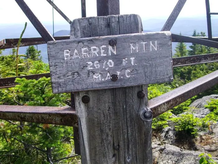
Barren Mt — 100 Mile Wilderness
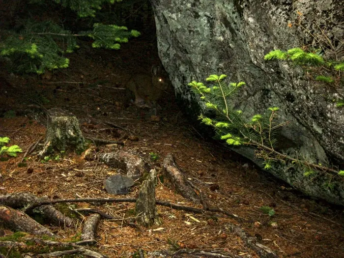
Bunny — 100 Mile Wilderness
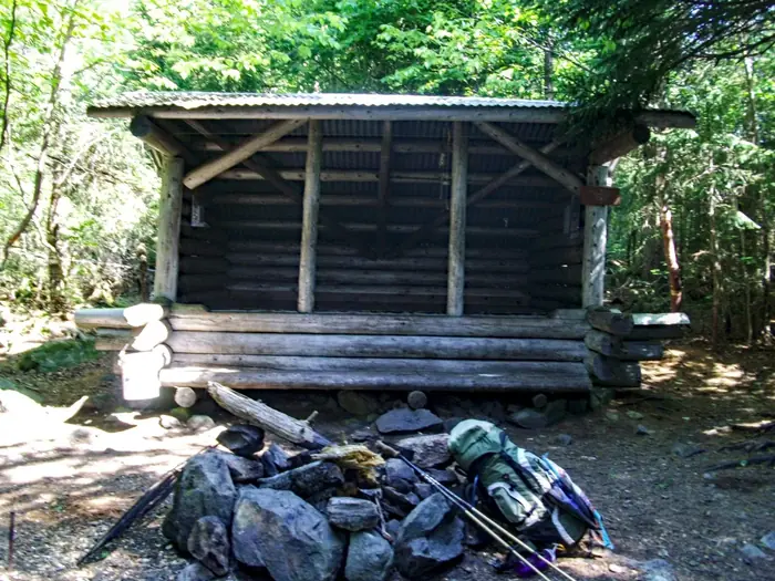
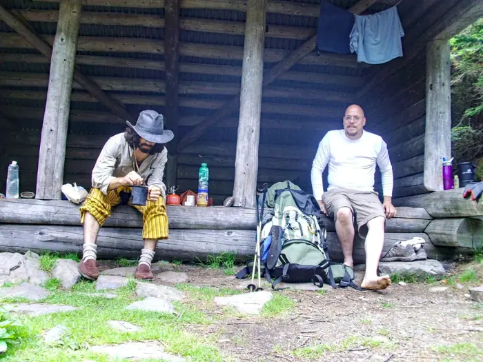
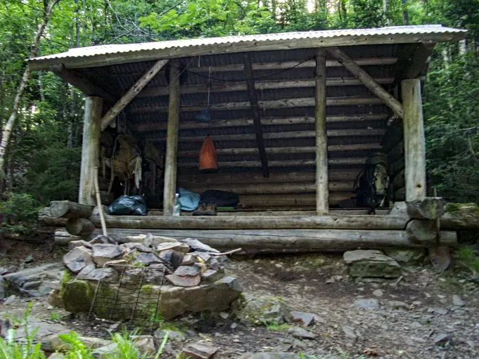
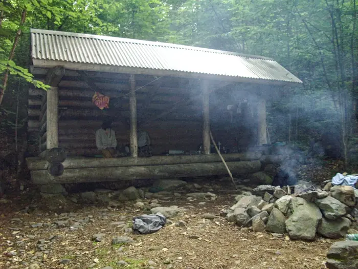
Carl Newhall Lean To — 100 Mile Wilderness
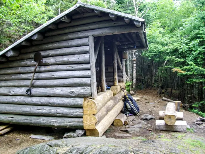
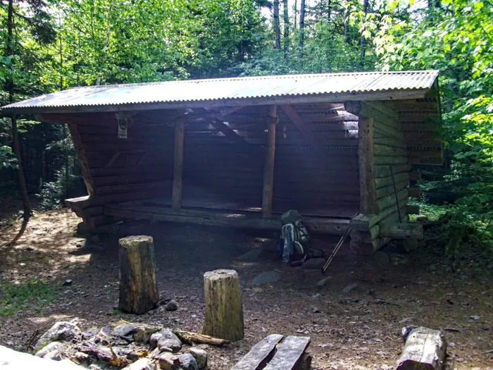
Chairback Gap Lean To — 100 Mile Wilderness
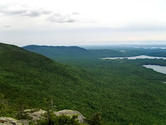
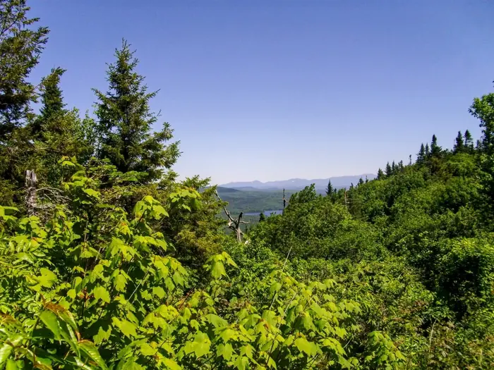
Chairback Mt View — 100 Mile Wilderness
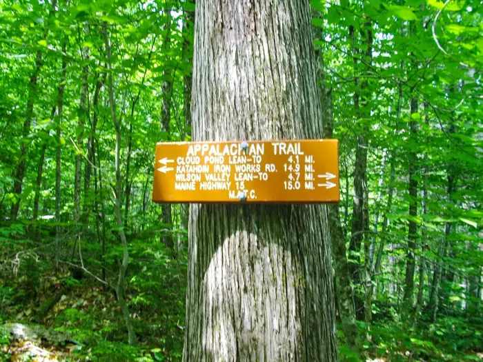
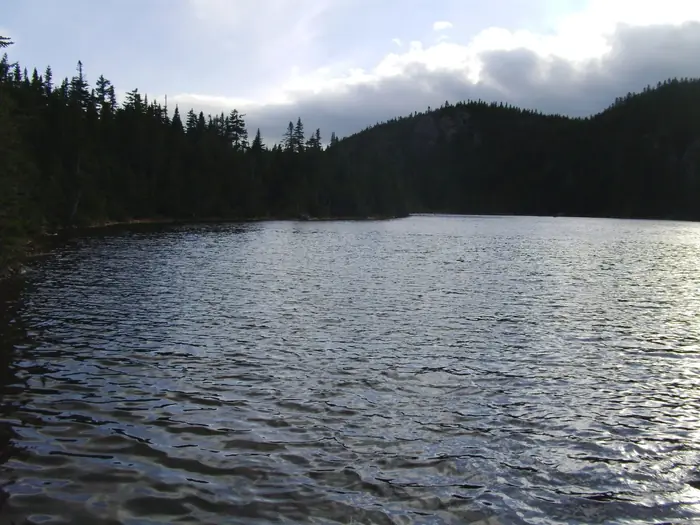
Cloud Pond Lean To — 100 Mile Wilderness
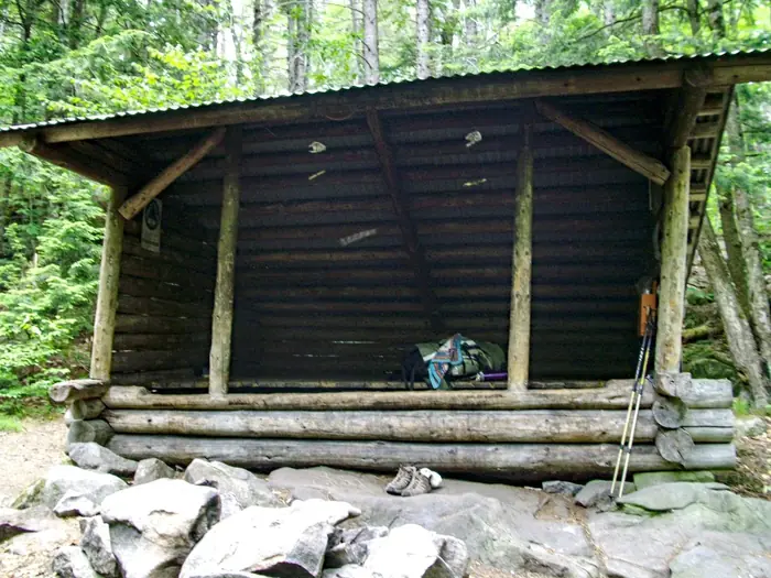
Cooper Brook Falls Lean To — 100 Mile Wilderness
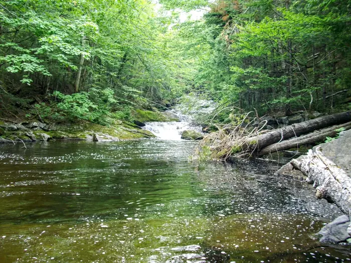
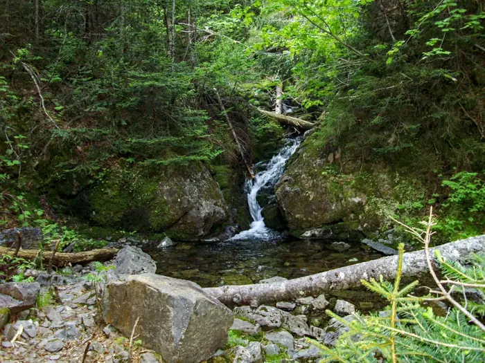
Cooper Brook Falls — 100 Mile Wilderness
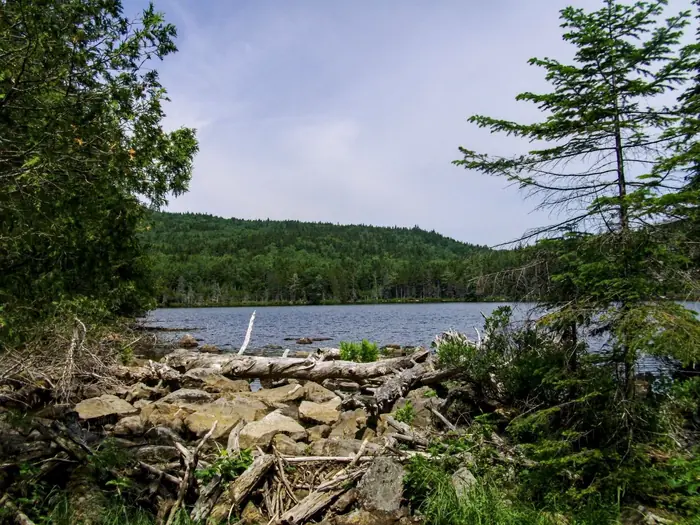
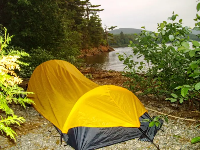
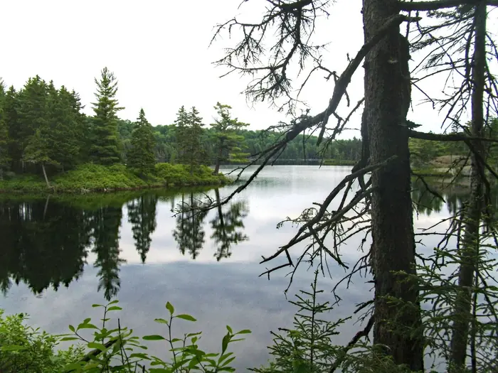
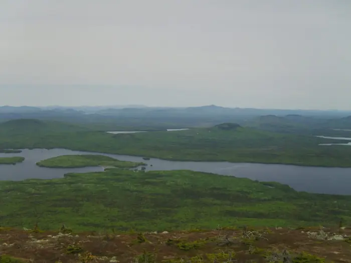
Crawford Pond — 100 Mile Wilderness
Exit To Abol — 100 Mile Wilderness
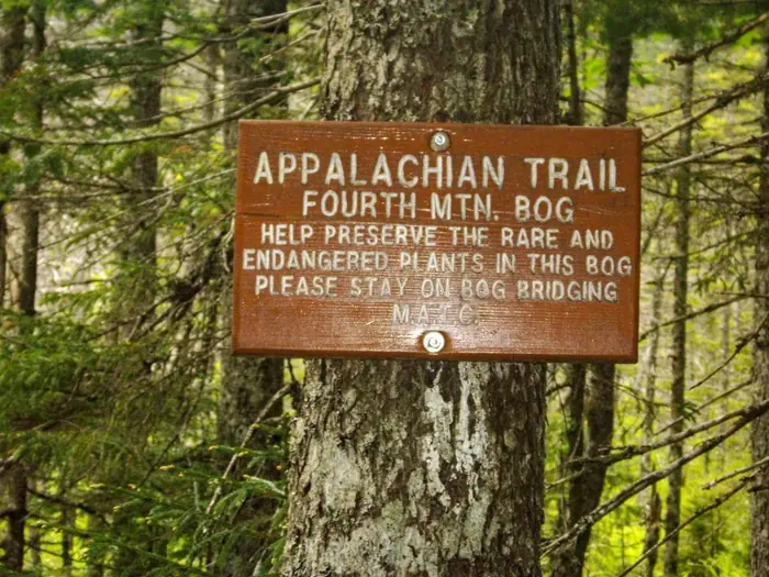
Fourth Mt — 100 Mile Wilderness
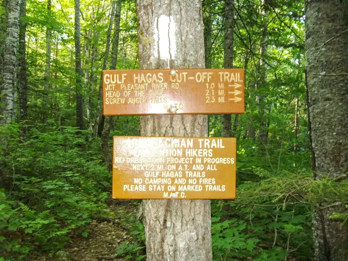
Gulf Hagus — 100 Mile Wilderness
Half Way — 100 Mile Wilderness
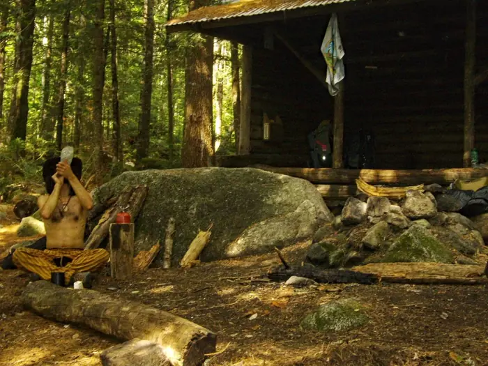
Home On The Trail — 100 Mile Wilderness
Hurd Brook Lean To — 100 Mile Wilderness
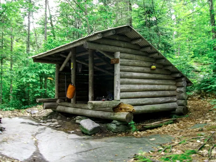
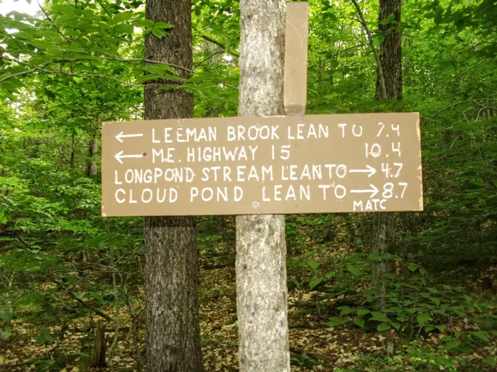
Leeman Brook Lean To — 100 Mile Wilderness
Logan Brook Lean To — 100 Mile Wilderness
Logan Brook — 100 Mile Wilderness
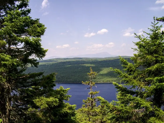
Nesuntabunt Mtn View — 100 Mile Wilderness
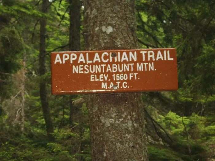
Nesuntabunt Mtn — 100 Mile Wilderness
On The Way To Wilson Falls — 100 Mile Wilderness
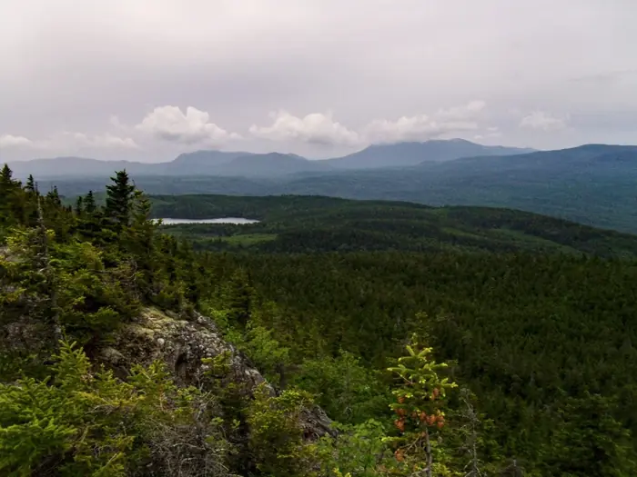
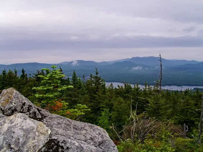
Peak Of A View — 100 Mile Wilderness
Pleasant River Lean To — 100 Mile Wilderness
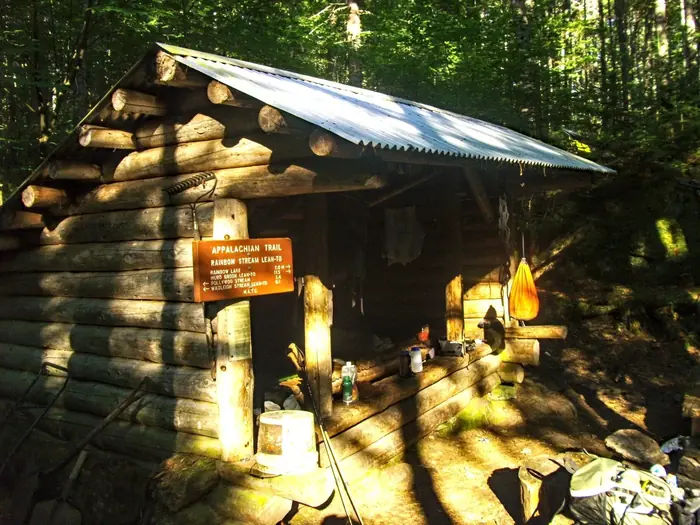
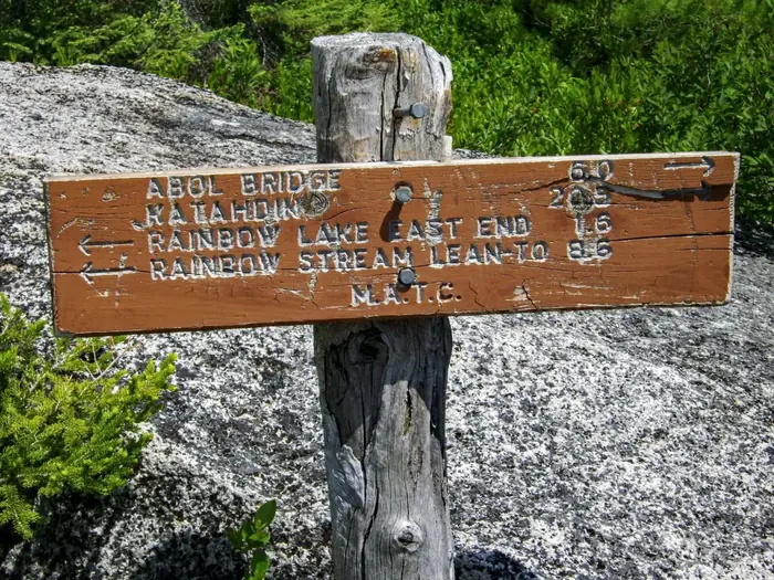
Rainbow Stream Lean To — 100 Mile Wilderness
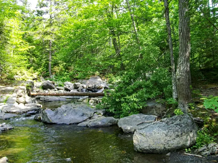
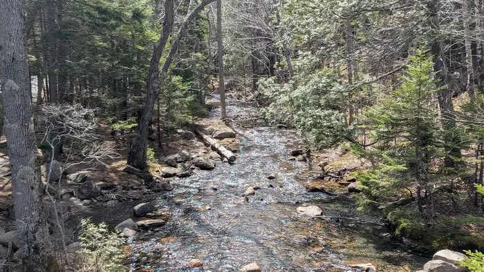
River Crossing — 100 Mile Wilderness
Sart 100 Mile — 100 Mile Wilderness
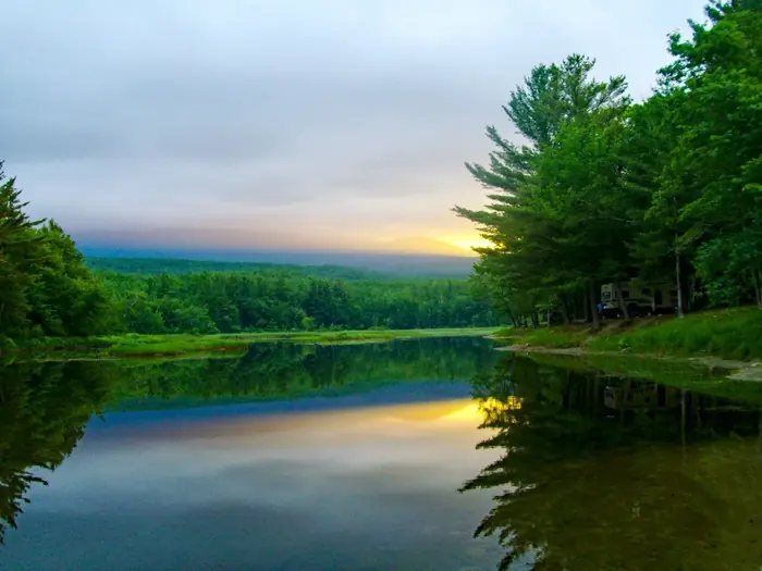
Sunrise Abol Campground — 100 Mile Wilderness
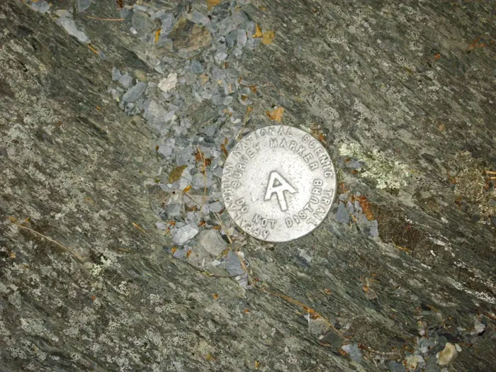
Survey Marker — 100 Mile Wilderness
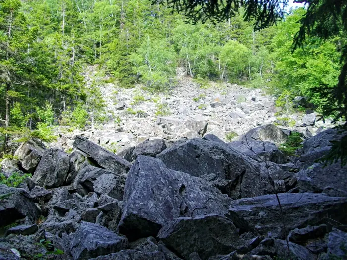
The Slide — 100 Mile Wilderness
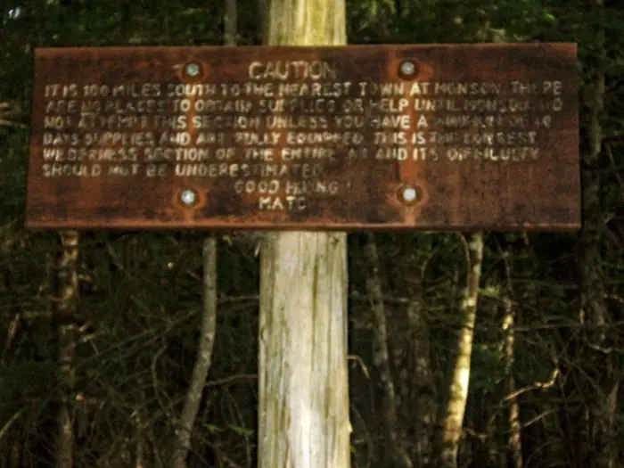
Trail Leaving Monson — 100 Mile Wilderness
Waterfall On The Way — 100 Mile Wilderness
West Peak — 100 Mile Wilderness
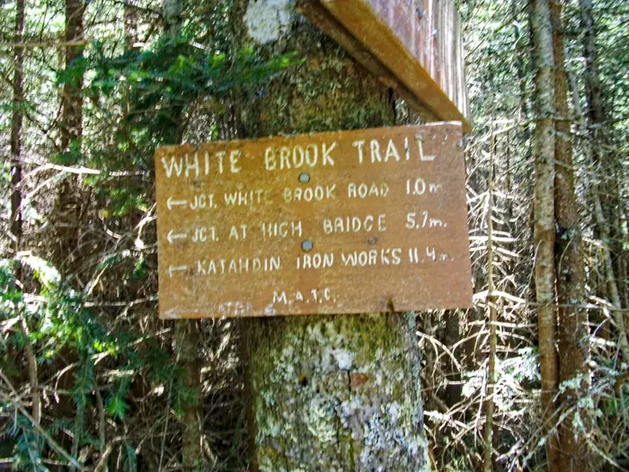
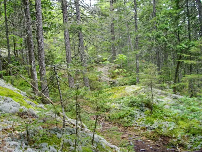
White Brook Trail — 100 Mile Wilderness
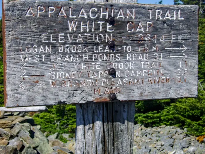
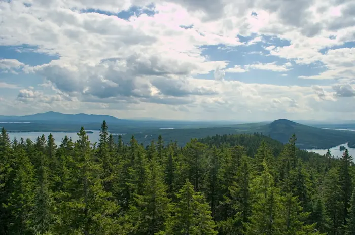
White Cap Peak — 100 Mile Wilderness
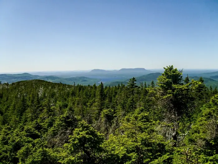
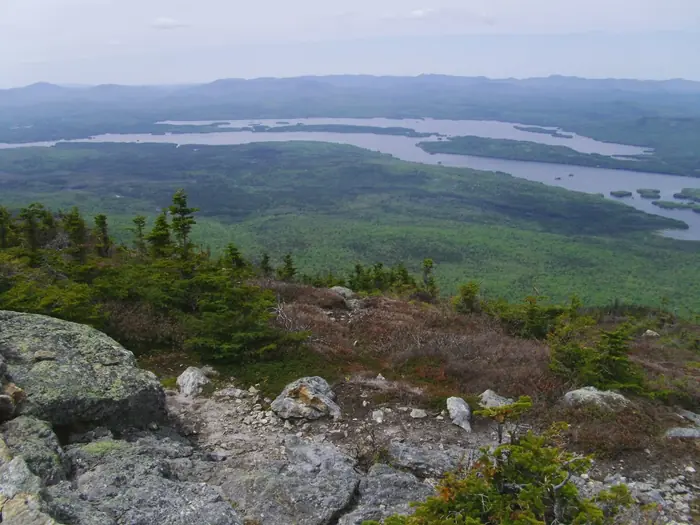
Whitecap Mountain View — 100 Mile Wilderness
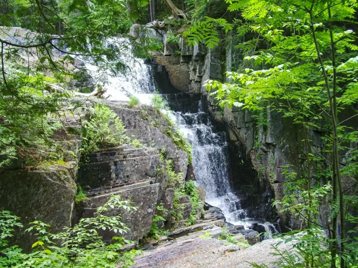
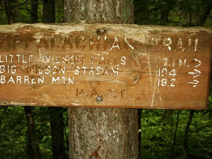
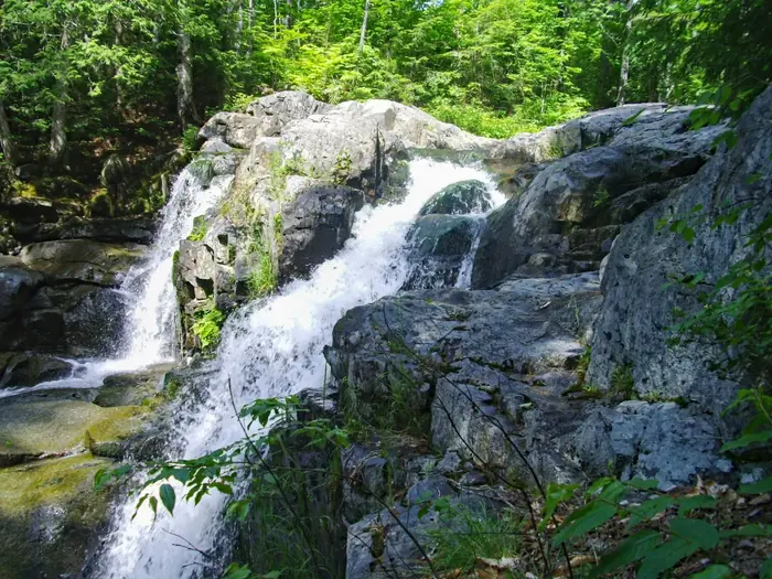
Wilson Falls — 100 Mile Wilderness
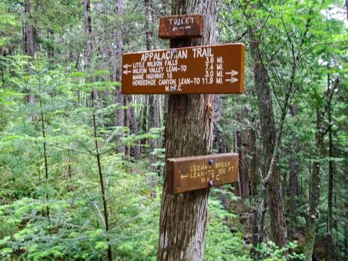
Wilson Valley Lean To — 100 Mile Wilderness
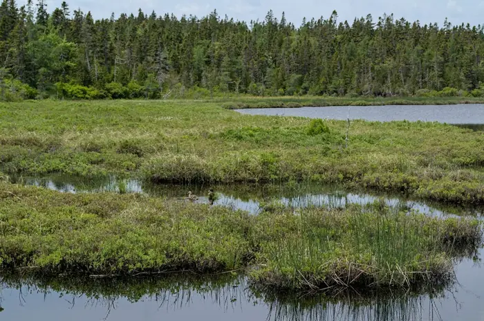
Acadia Marsh Mallard — Acadia
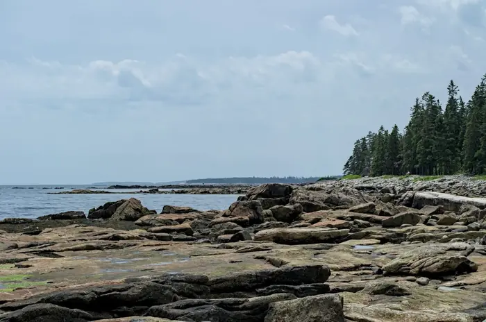
Acadia Shoreline Low Tide — Acadia
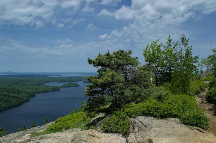
Beech Mountain Echo Lake — Acadia
Beech Mountain Summit View — Acadia
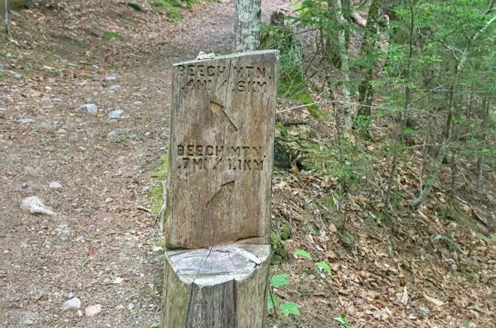
Beech Mountain Trail Sign — Acadia

Sand Beach — Acadia
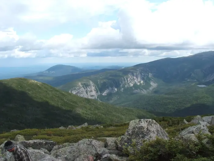
Baxter Massif From Coe — Baxter
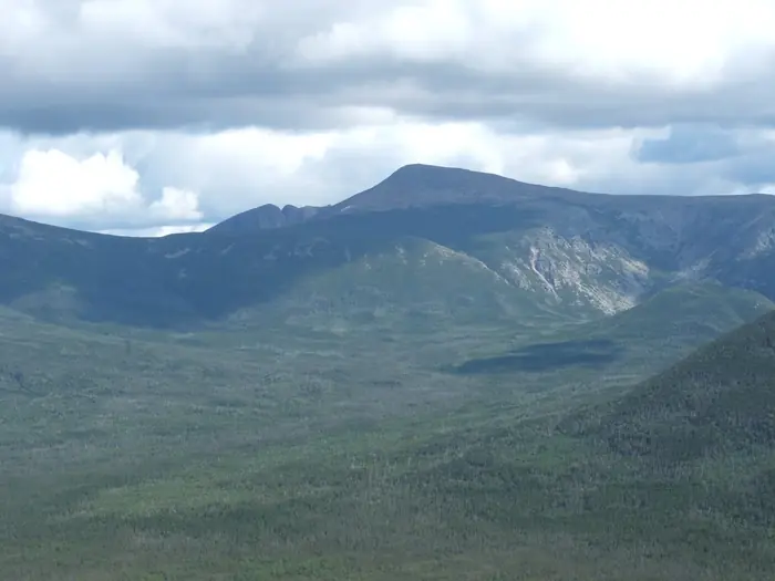
Katahdin From North Brother — Baxter
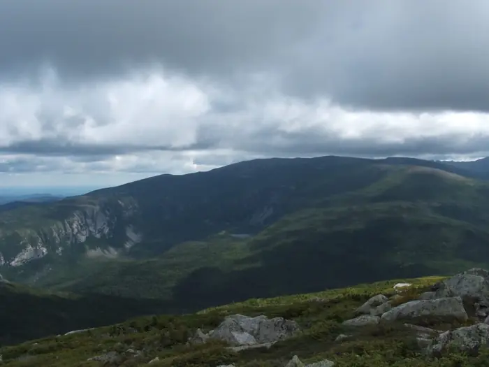
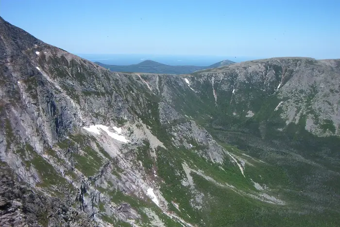
Katahdin Great Basin Cliffs — Baxter
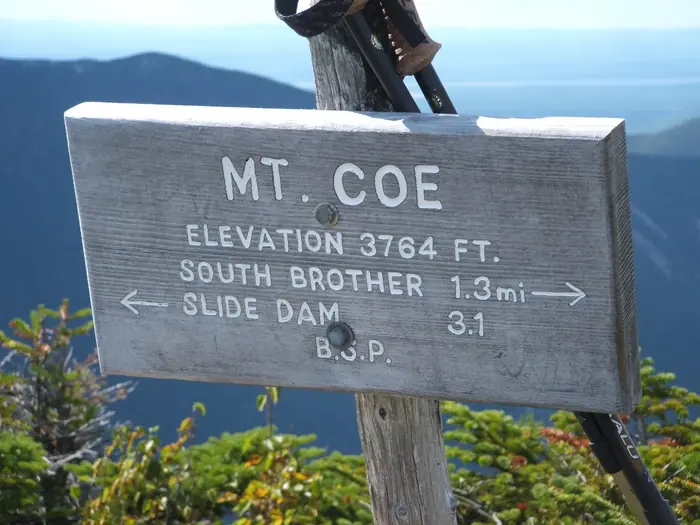
Mount Coe Summit Sign — Baxter
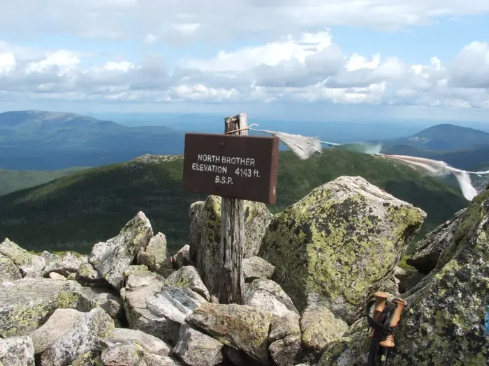
North Brother Summit Sign — Baxter
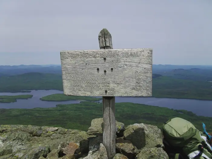
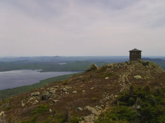
Avery Peak Sign Flagstaff Lake — Bigelow
Bigelow Ridge Traverse — Bigelow
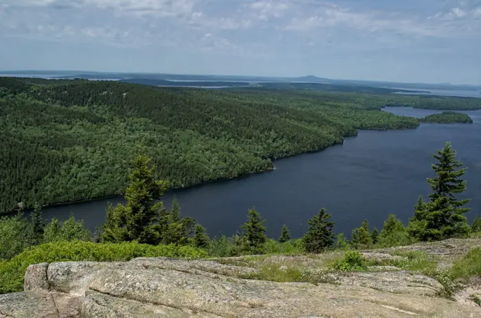
Flagstaff Lake From Summit — Bigelow
Flagstaff Lake Summit Rocks — Bigelow
Horns Pond Backcountry — Bigelow
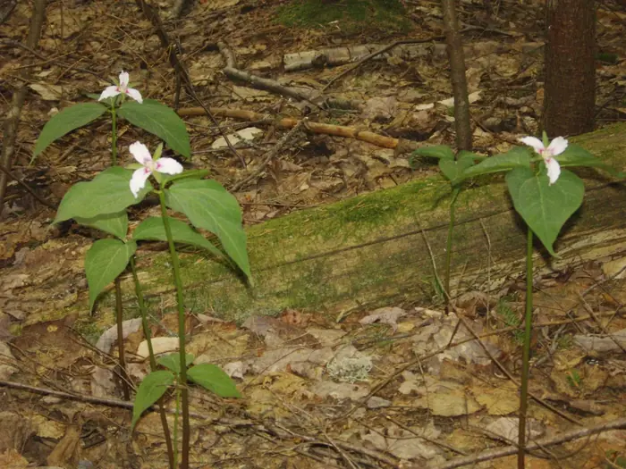
Pink Trilliums Spring Trail — Bigelow
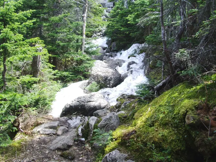
Snowy Trail Spring Approach — Bigelow
Stone Cabin Flagstaff Lake — Bigelow
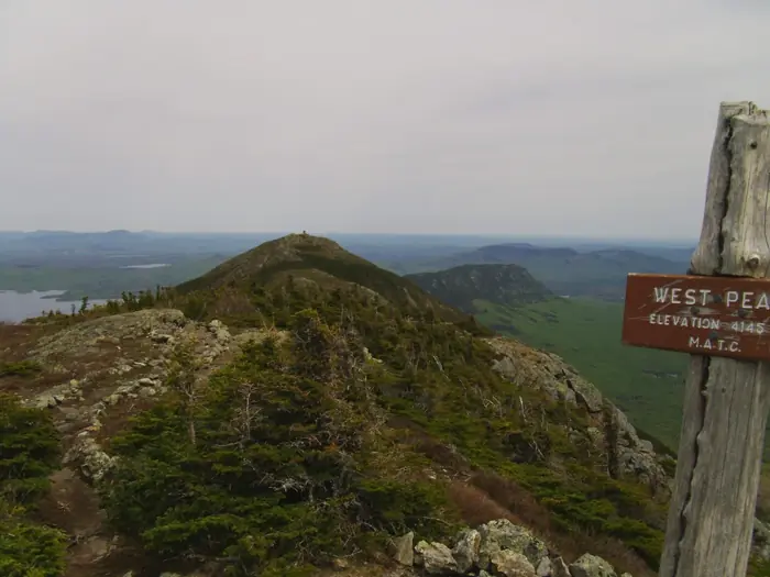
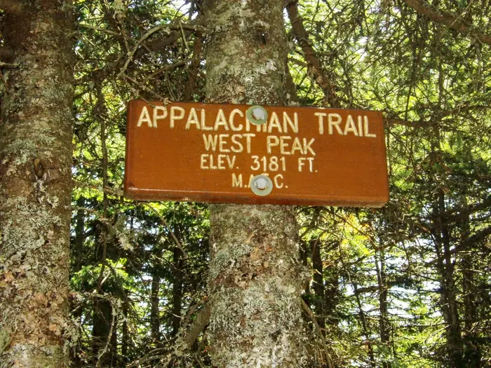
West Peak Sign Ridge View — Bigelow
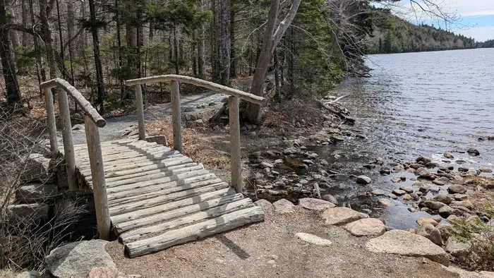
Another Bridge With Rails — Jordan Pond
Bubbles Close Up — Jordan Pond
Bubbles Closer — Jordan Pond
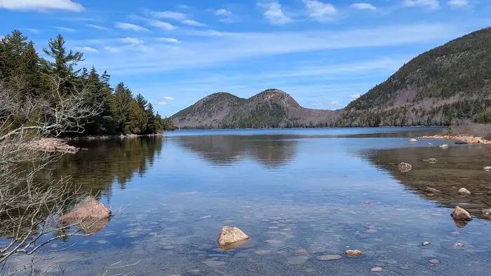
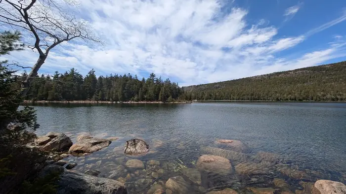
Bubbles From Entrance — Jordan Pond
Bubbles Reflection End Of Trail — Jordan Pond
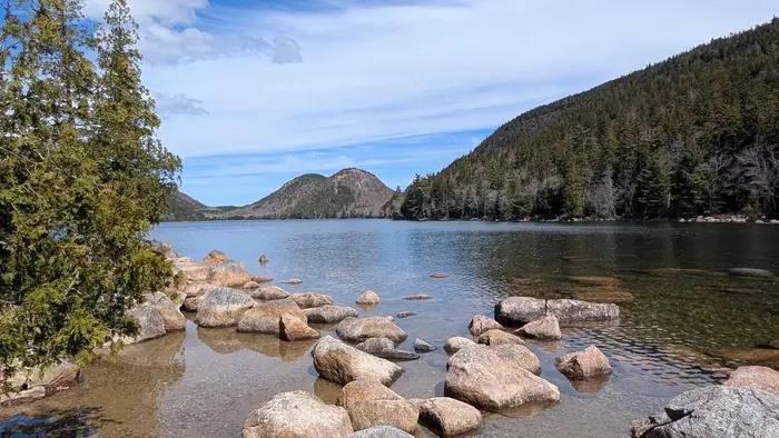
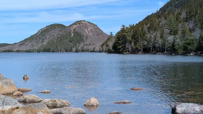
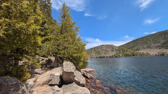
Bubbles View From The First Corner — Jordan Pond
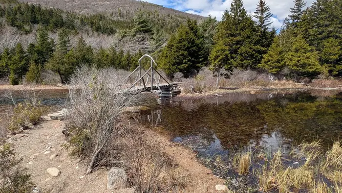
Inlet Bridge 2 — Jordan Pond
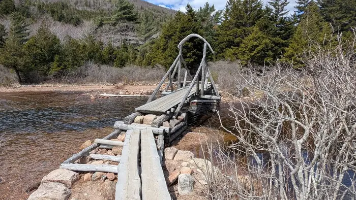
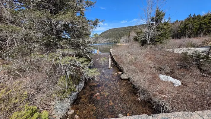
Inlet Bridge — Jordan Pond
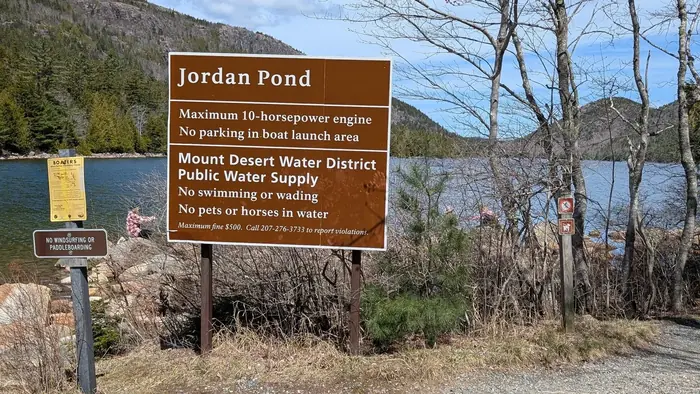
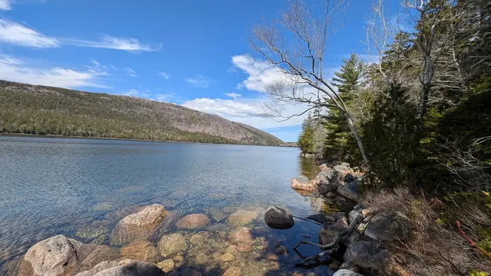
Jordan House From Across The Pond — Jordan Pond
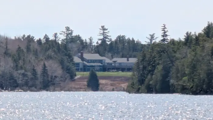
Jordan House From Inlet — Jordan Pond
Looking Away From The Outlet — Jordan Pond
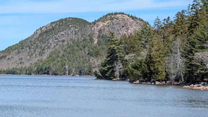
Looking Back Toward Bubble — Jordan Pond
Looking Back — Jordan Pond
Outlet At The End — Jordan Pond
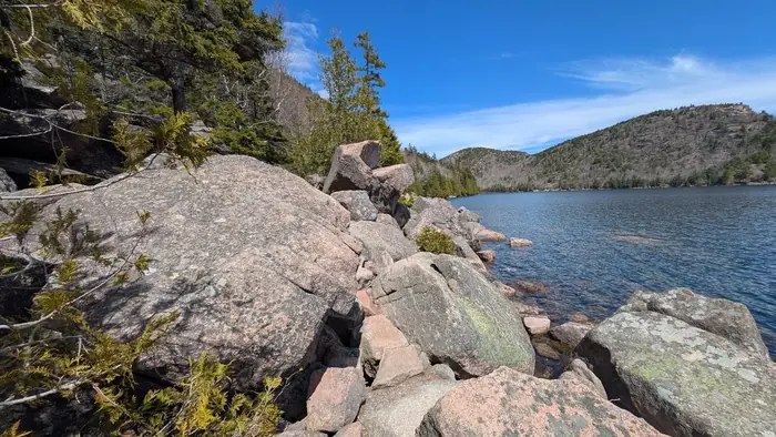
Rock Scrambles — Jordan Pond
Rock Slide Across The Way — Jordan Pond

Shoreline Plank Walk 2 — Jordan Pond
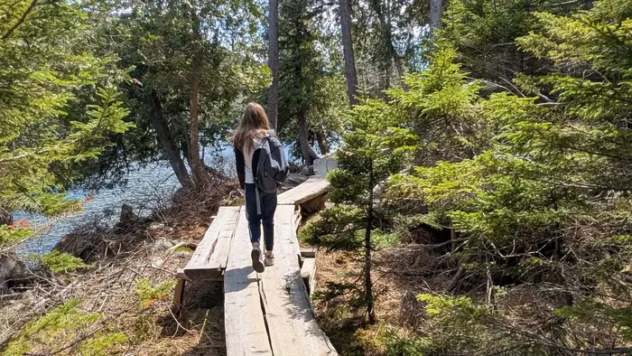
Shoreline Plank Walk — Jordan Pond
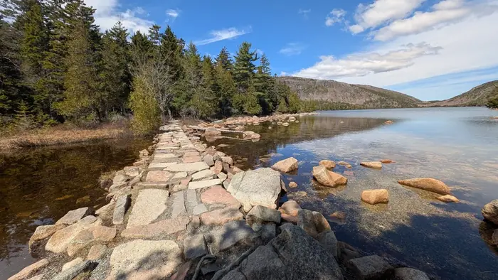
Stone Bridge Outlet — Jordan Pond
The Beginning Of Jordan Trail — Jordan Pond
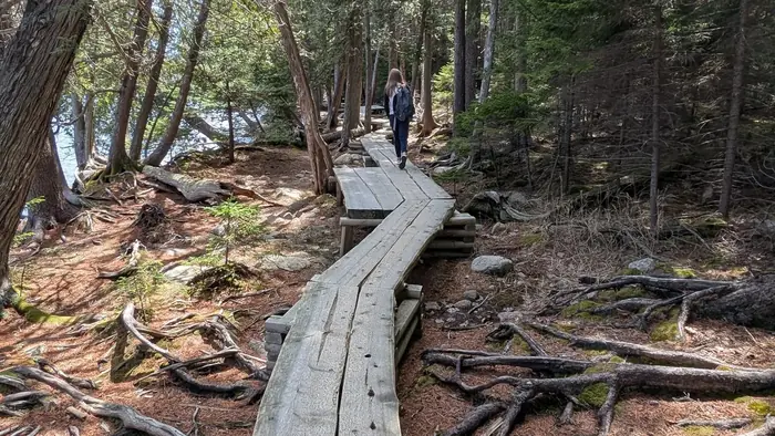
The Boarwalk — Jordan Pond
The Inlet — Jordan Pond
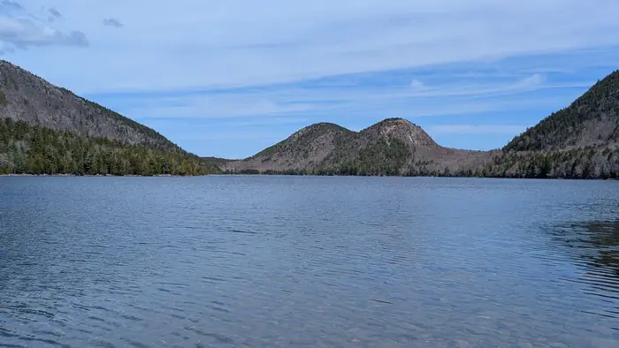
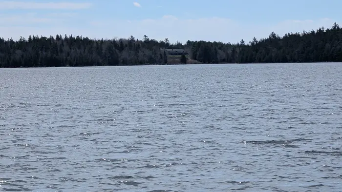
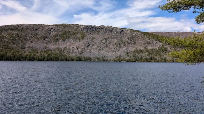
View Across The Pond No Bubbles — Jordan Pond

Walking On The Boardwalk — Jordan Pond

Walking On The Boardwalk 01 — Jordan Pond
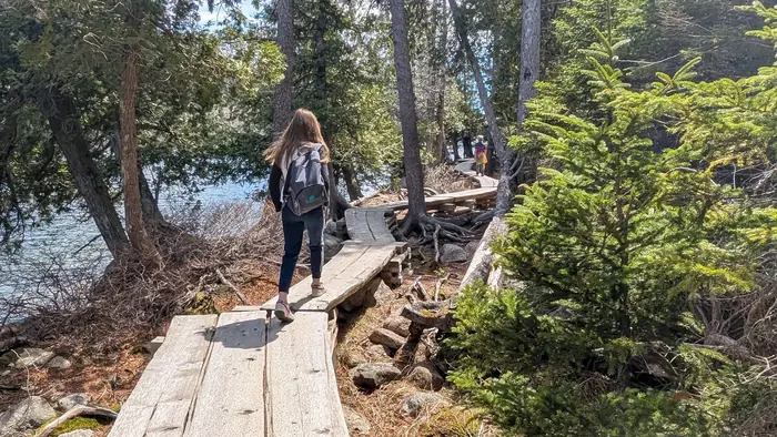
Walking On The Boardwalk 02 — Jordan Pond
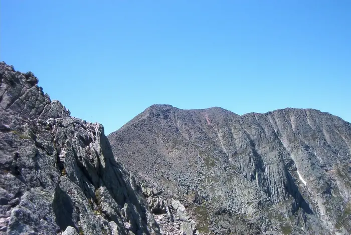
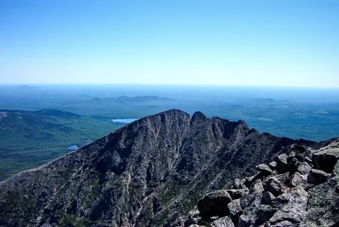
Baxter Peak From Knife Edge — Katahdin
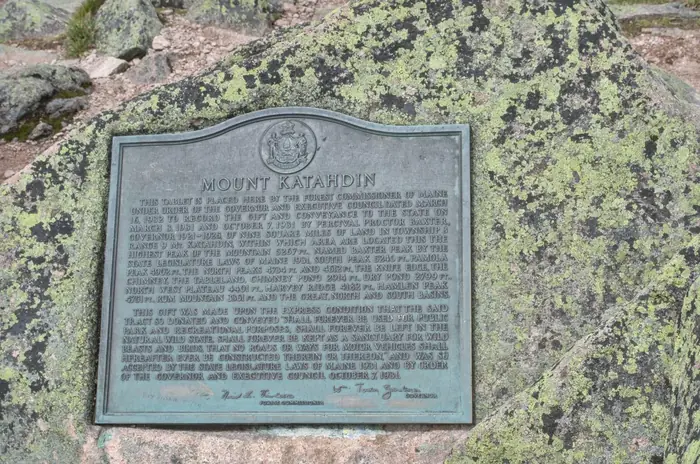
Baxter Peak Summit Plaque — Katahdin
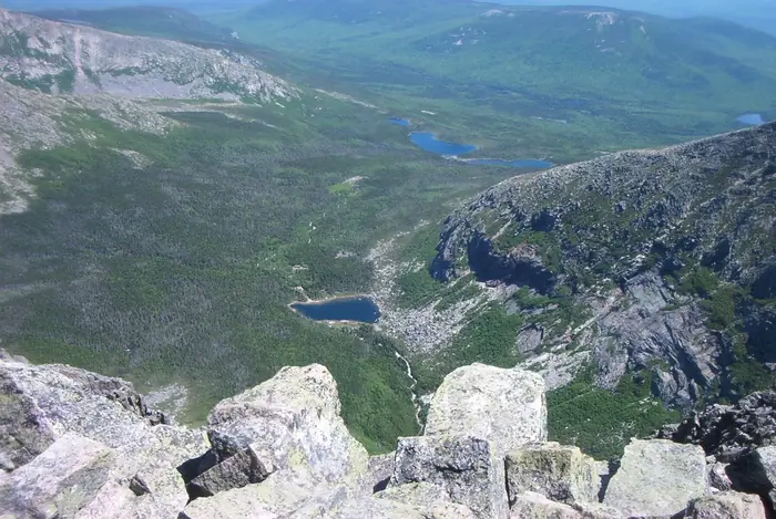
Chimney Pond From Knife Edge — Katahdin
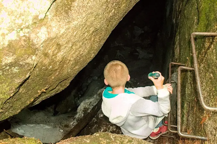
Katahdin Ice Cave Exploring — Katahdin
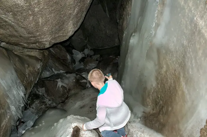
Katahdin Ice Cave Interior — Katahdin
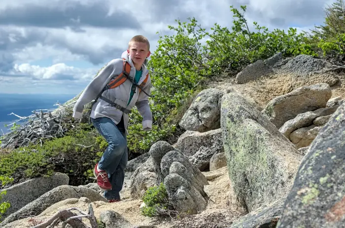
Katahdin Kid Scrambling — Katahdin
Katahdin South Basin Approach — Katahdin
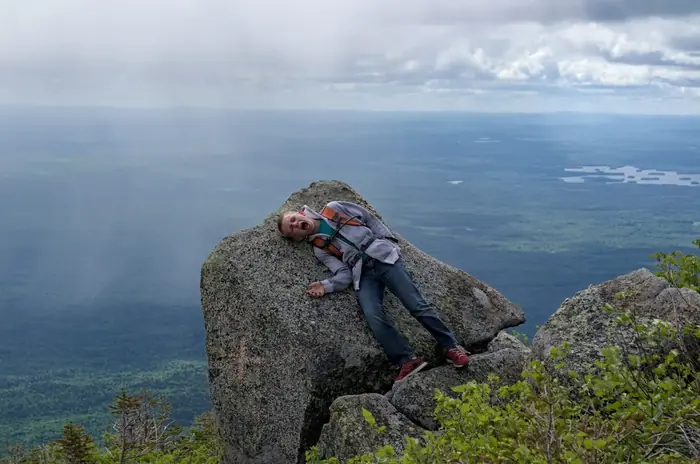
Katahdin Summit Family — Katahdin
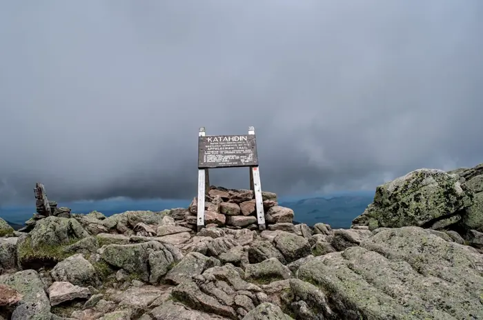
Katahdin Summit Sign — Katahdin
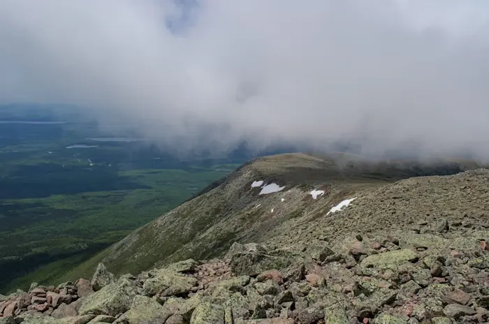
Katahdin Tableland Clouds — Katahdin
Knfe Edge 1 — Katahdin
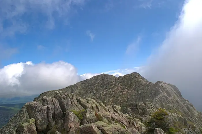
Knife Edge 2 — Katahdin
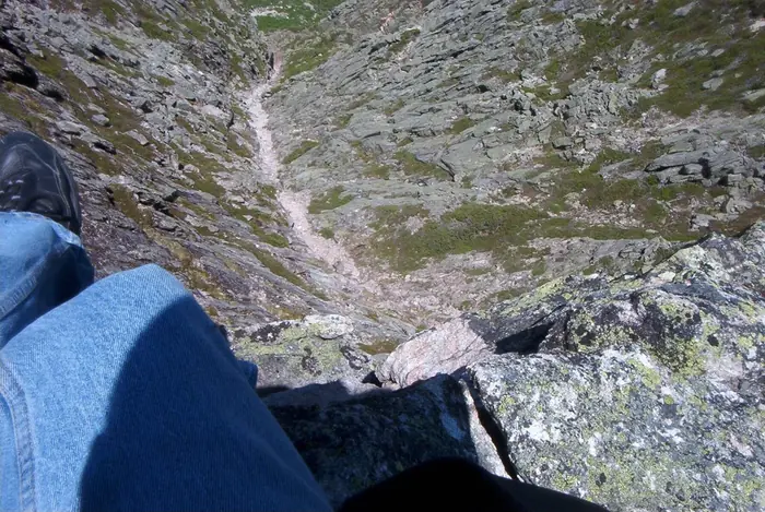
Knife Edge Exposure — Katahdin
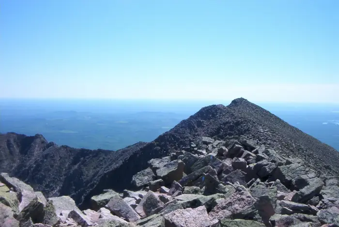
Knife Edge Looking East — Katahdin
Knife Edge Pink Granite — Katahdin
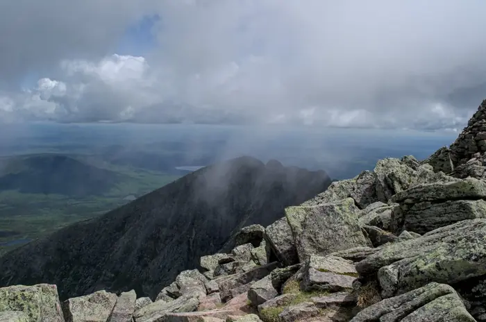
Knife Edge Storm Clouds — Katahdin
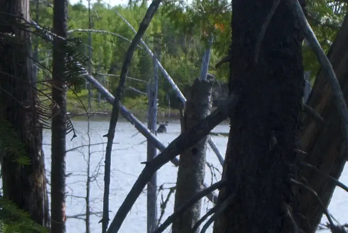
Moose Sandy Stream Pond 2 — Katahdin
Moose Sandy Stream Pond — Katahdin
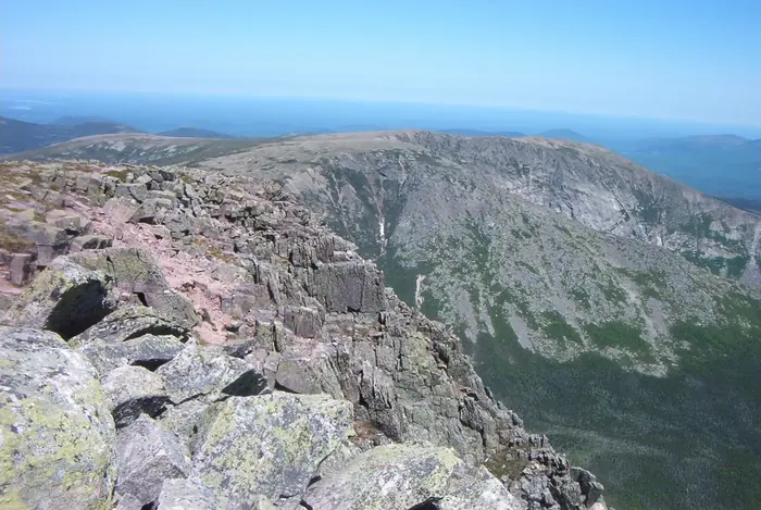
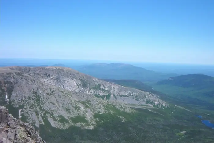
South Basin Cirque — Katahdin
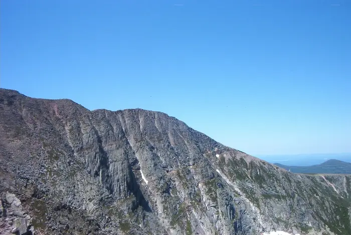
South Basin Headwall — Katahdin
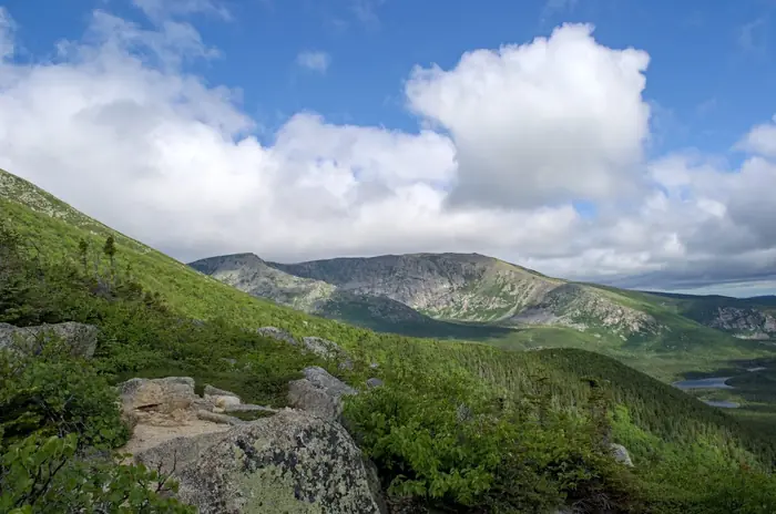
Tableland South Ridge — Katahdin
Mt Kineo Cliff Approach — Mt Kineo
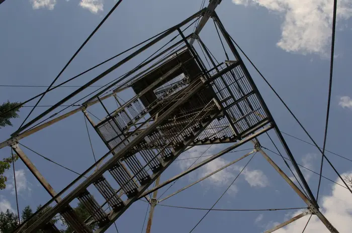
Mt Kineo Fire Tower — Mt Kineo
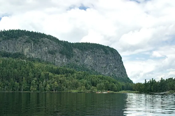
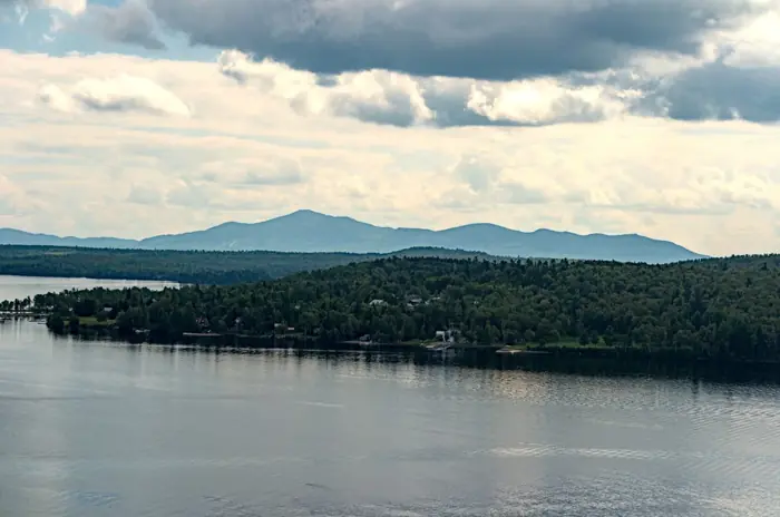
Mt Kineo From Dock — Mt Kineo
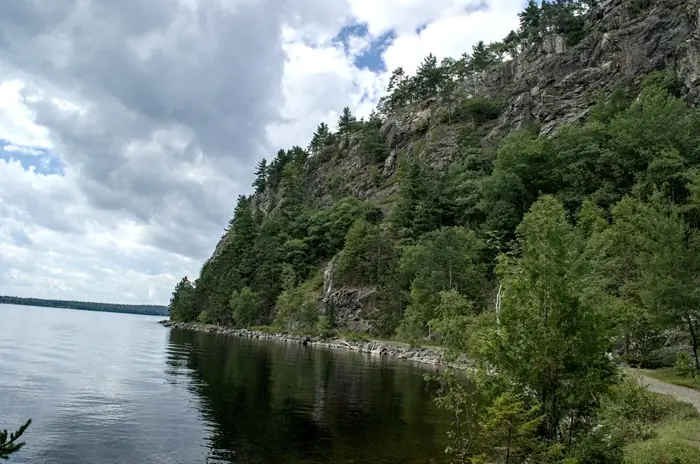
Mt Kineo Shoreline Trail — Mt Kineo
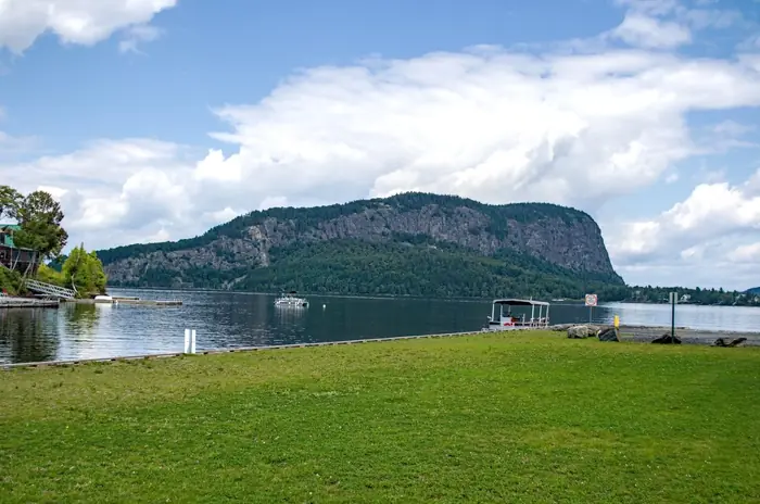
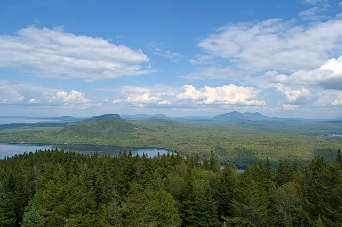
Mt Kineo Summit View — Mt Kineo
Mt Kineo Tower View 1 — Mt Kineo
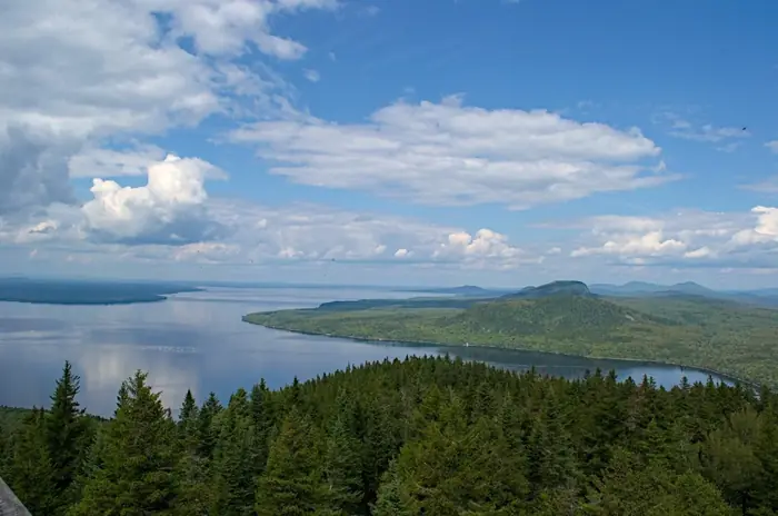
Mt Kineo Tower View 2 — Mt Kineo
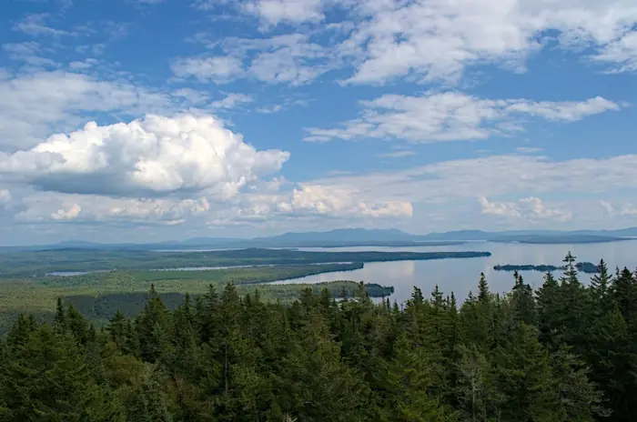
Mt Kineo Tower View 3 — Mt Kineo
Mt Kineo Tower View 4 — Mt Kineo
Mt Kineo Tower View 5 — Mt Kineo