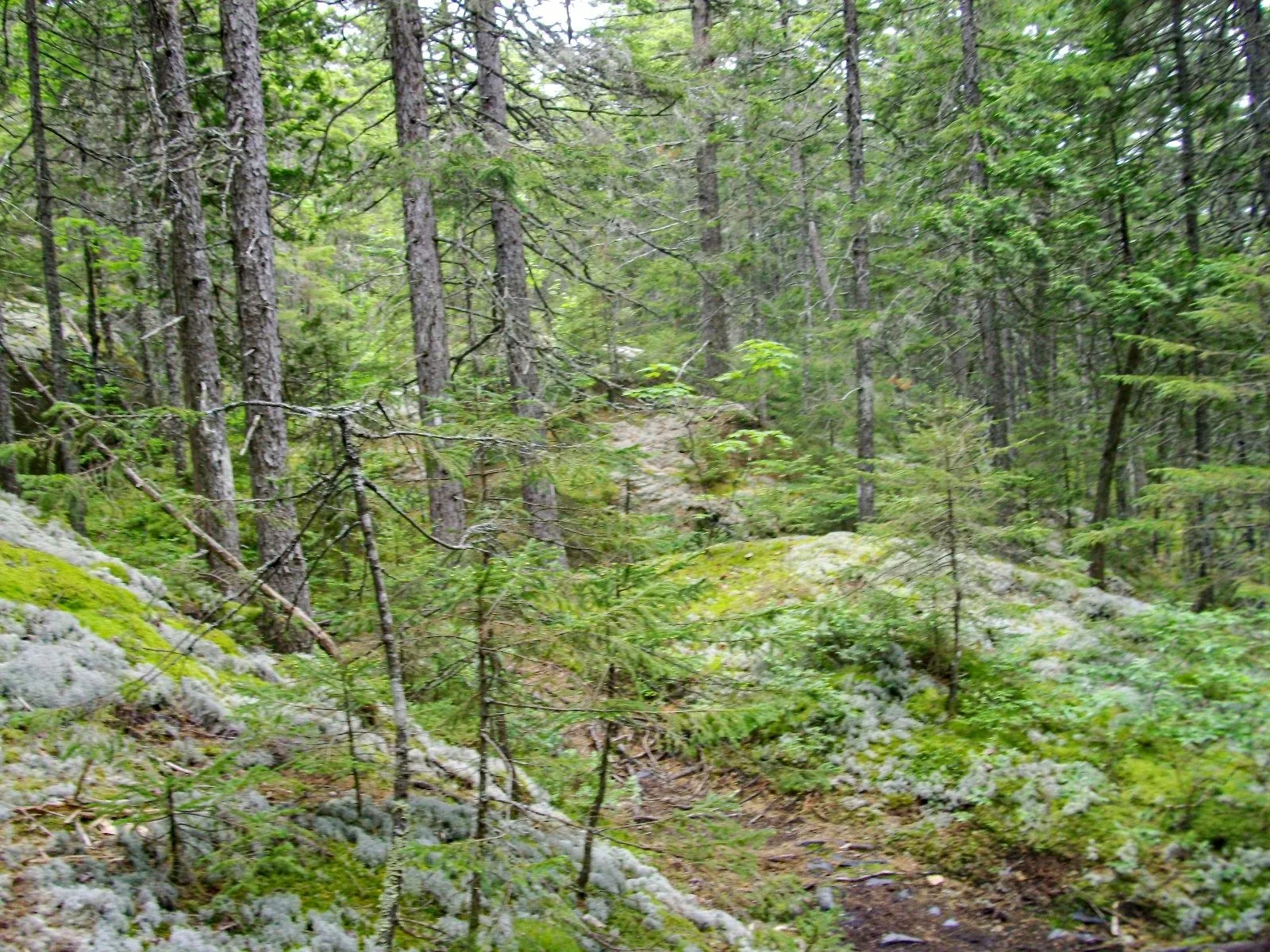
The most remote stretch of the AT — 99 miles of boreal wilderness from Monson to Katahdin with no road crossings, no resupply, and no way out but forward.
The 100 Mile Wilderness is the last and most demanding section of the Appalachian Trail. From the sign at the edge of Monson — “There are no places to obtain supplies or get help until Abol Bridge, 100 miles north” — to Katahdin Stream Campground at the base of Katahdin, the trail crosses boreal forest, remote ponds, a succession of 3,000-foot peaks, and Maine’s most dramatic river crossings with essentially no bailout options.
For thru-hikers it’s the final push. For section hikers and backpackers doing it standalone, it’s a 10–14 day wilderness trip with serious planning requirements.
The Numbers
- Distance: 99.4 miles (Monson to Abol Bridge; most hikers add Katahdin to finish the AT)
- Elevation gain: ~17,000 feet cumulative (multiple summit crossings)
- Typical time: 8–14 days depending on fitness and pack weight
- Bailout options: Zero between Monson and Abol Bridge by trail. One rough logging road crossing at approximately mile 60 (KI-Jo Mary Forest) allows emergency vehicle access — not a legal public road.
The Route Overview
The 100 Mile Wilderness runs roughly north from Monson to Abol Bridge, then most hikers continue the final 10 miles on the AT to Katahdin Stream Campground and climb Katahdin.
Major landmarks (south to north):
- Mile 0 — Monson (last resupply, Shaw’s Hostel, hostel meals, shuttle available)
- Mile 17 — Moxie Bald Mountain (2,629 ft) — first significant summit; open ledge with views north
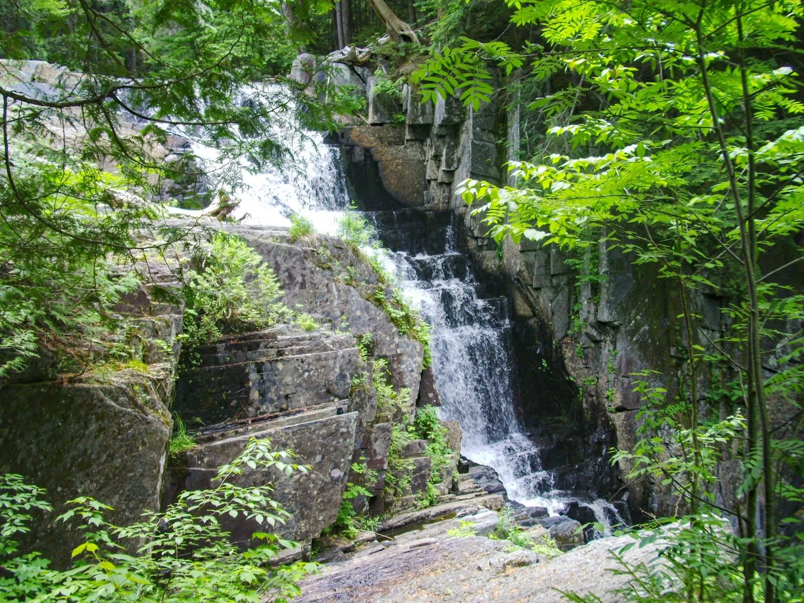
- Mile 30 — Horseshoe Canyon Lean-tos; Gulf Hagas side trail (3-mile detour to the gorge — worth it)
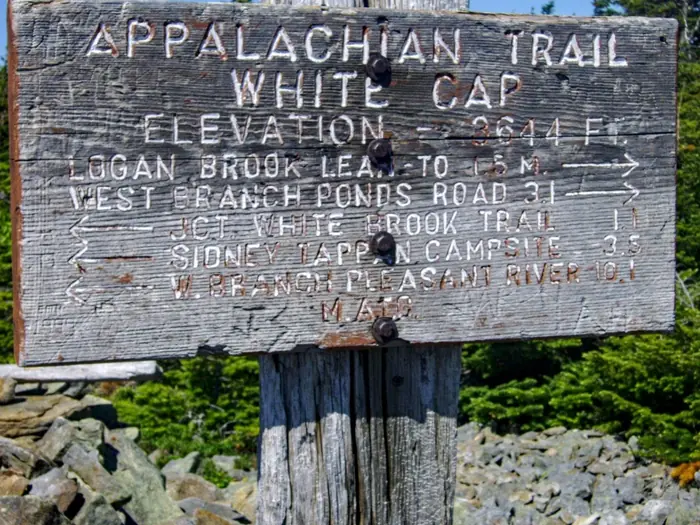
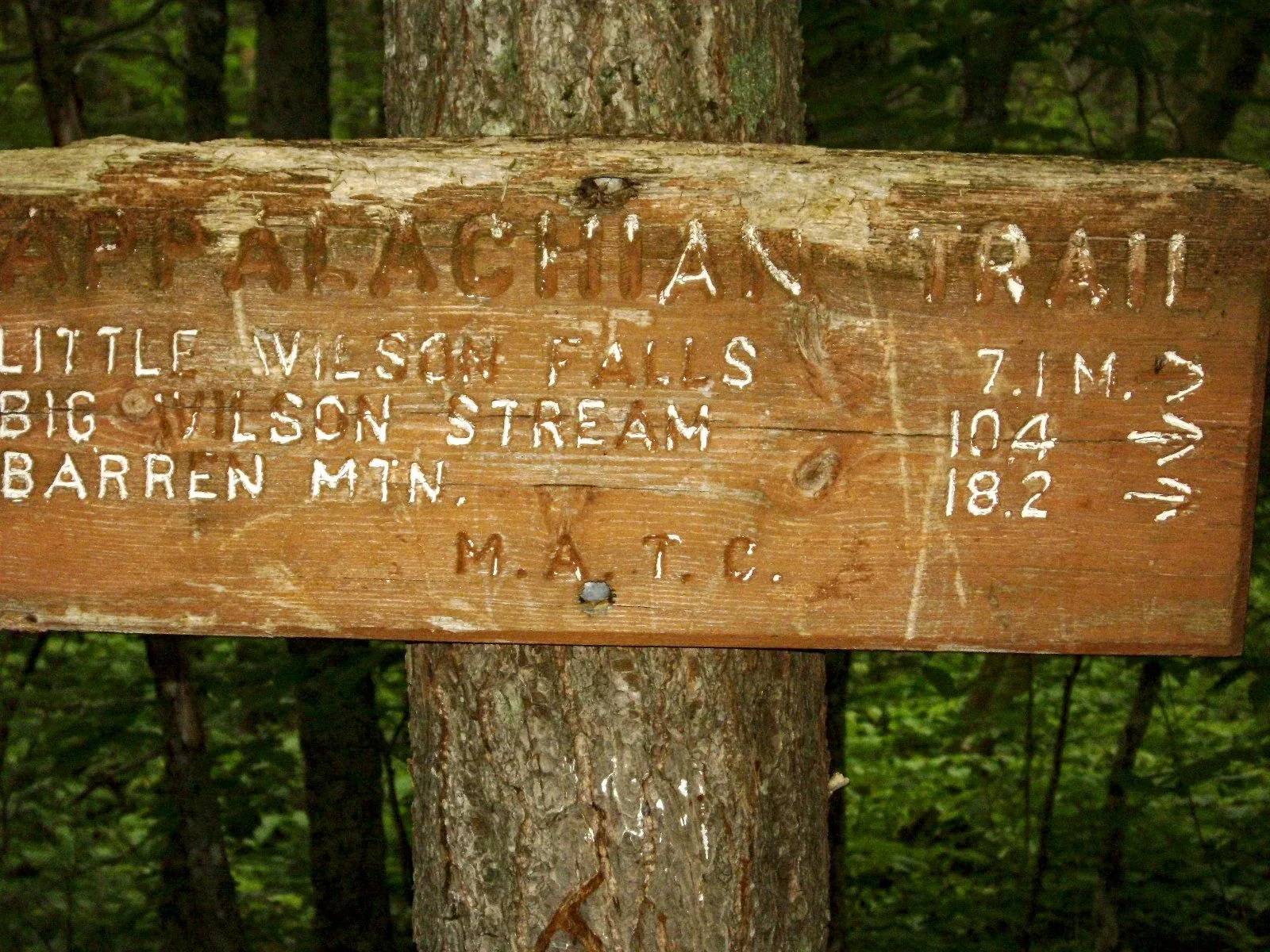
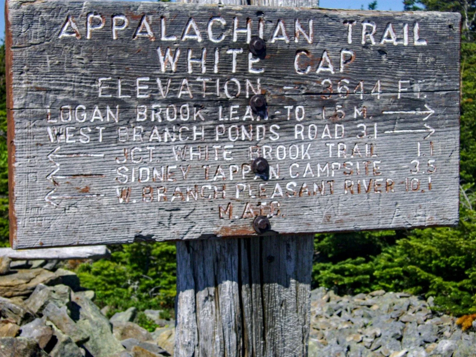
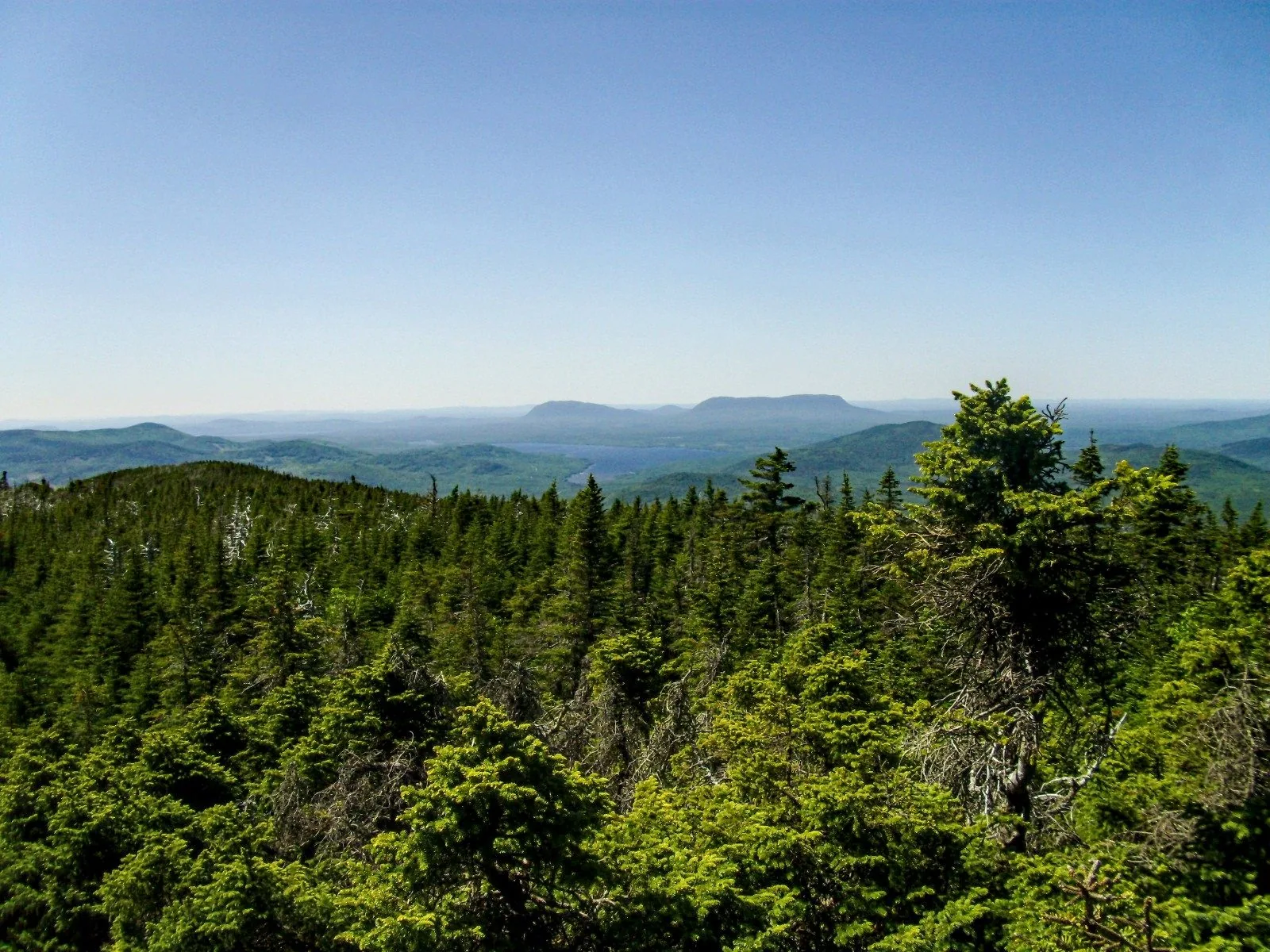
- Mile 44 — White Cap Mountain (3,654 ft) — the high point of the wilderness; first clear view of Katahdin to the north
- Mile 57 — Logan Brook Lean-to
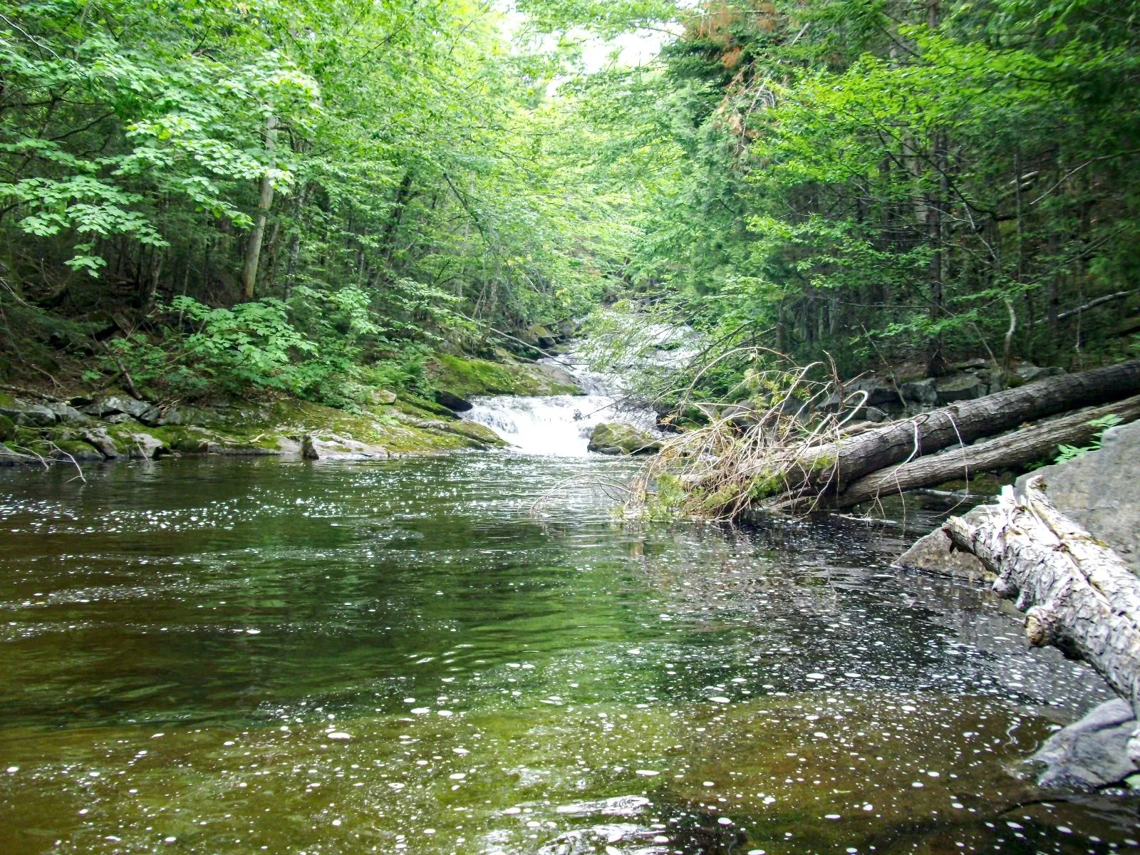
- Mile 68 — Cooper Brook Falls — reliable swimming hole, one of the best campsites in the section
- Mile 80 — Nahmakanta Lake — largest lake on the AT; lean-to sits on the shore
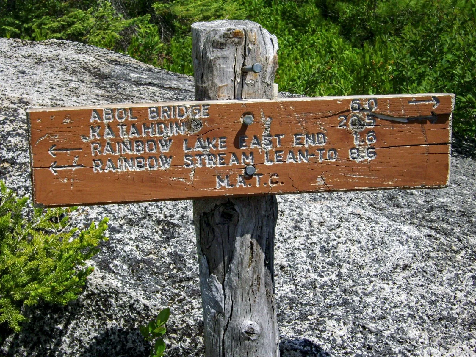
- Mile 90 — Rainbow Lake
- Mile 99 — Abol Bridge; small campground and camp store with limited resupply (candy bars, fuel canisters)
- Mile 109 — Katahdin Stream Campground (if continuing to Katahdin)
White Cap Mountain
White Cap is the centerpiece of the 100 Mile Wilderness. At 3,654 feet it’s the high point of the section, and its open summit offers the first clear look at Katahdin — still 60 miles north but unmistakable on the horizon. For thru-hikers pushing hard since Springer Mountain, Georgia, seeing Katahdin for the first time from White Cap is a defining moment. The descent off White Cap’s north face is steep and technical in wet conditions.
Planning Essentials
Resupply: Monson is the last full resupply before Abol Bridge. Most hikers carry 10+ days of food. Shaw’s Hostel in Monson offers shuttles, gear, and a legendary hiker breakfast the morning you start. Abol Bridge camp store is stocked for emergencies but don’t rely on it for a full resupply.
Water: Abundant throughout — ponds, streams, and rivers are never far. Treat everything. The rivers run clear but beaver activity is common in pond inlets.
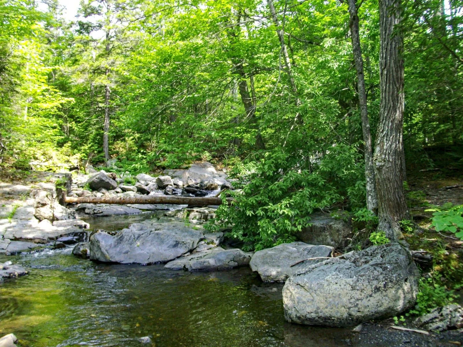
River crossings: The West Branch Pleasant River crossing at Gulf Hagas is the most significant — thigh-deep in late spring, knee-deep by August. Use trekking poles. The East Branch at Cooper Brook can also run high after heavy rain.
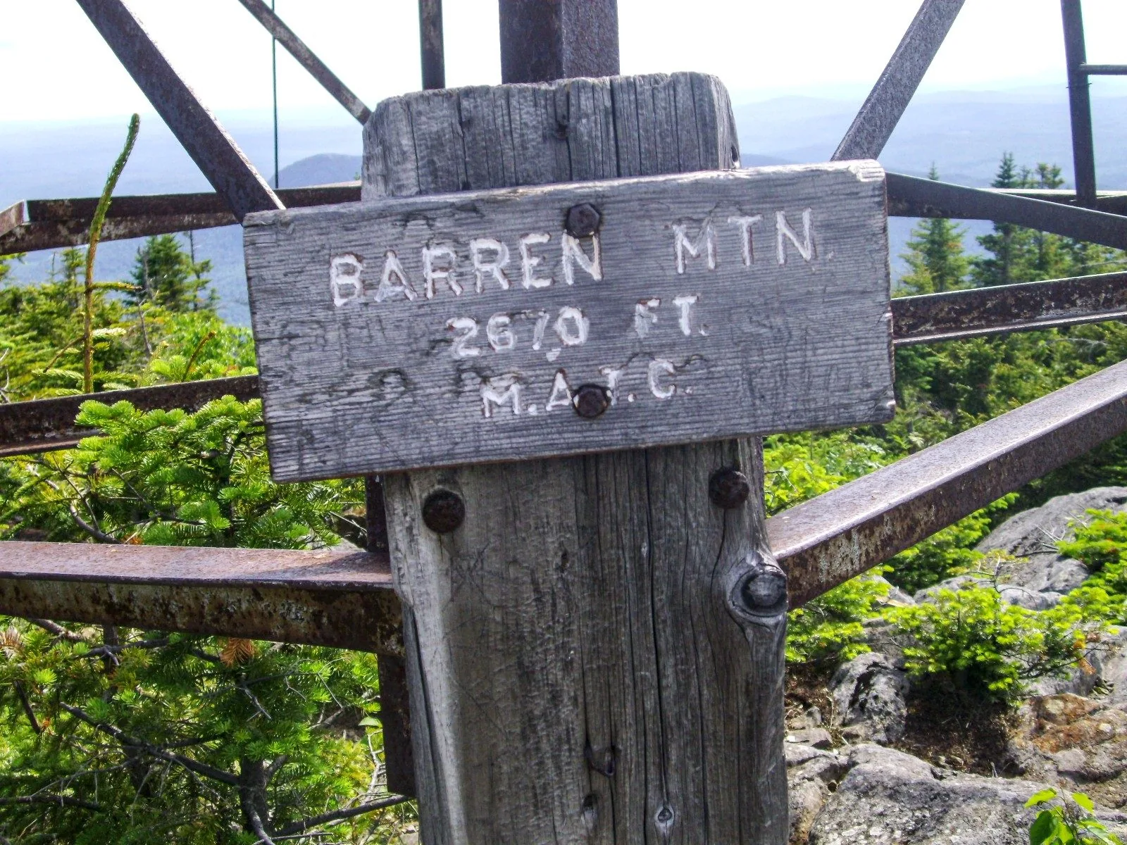
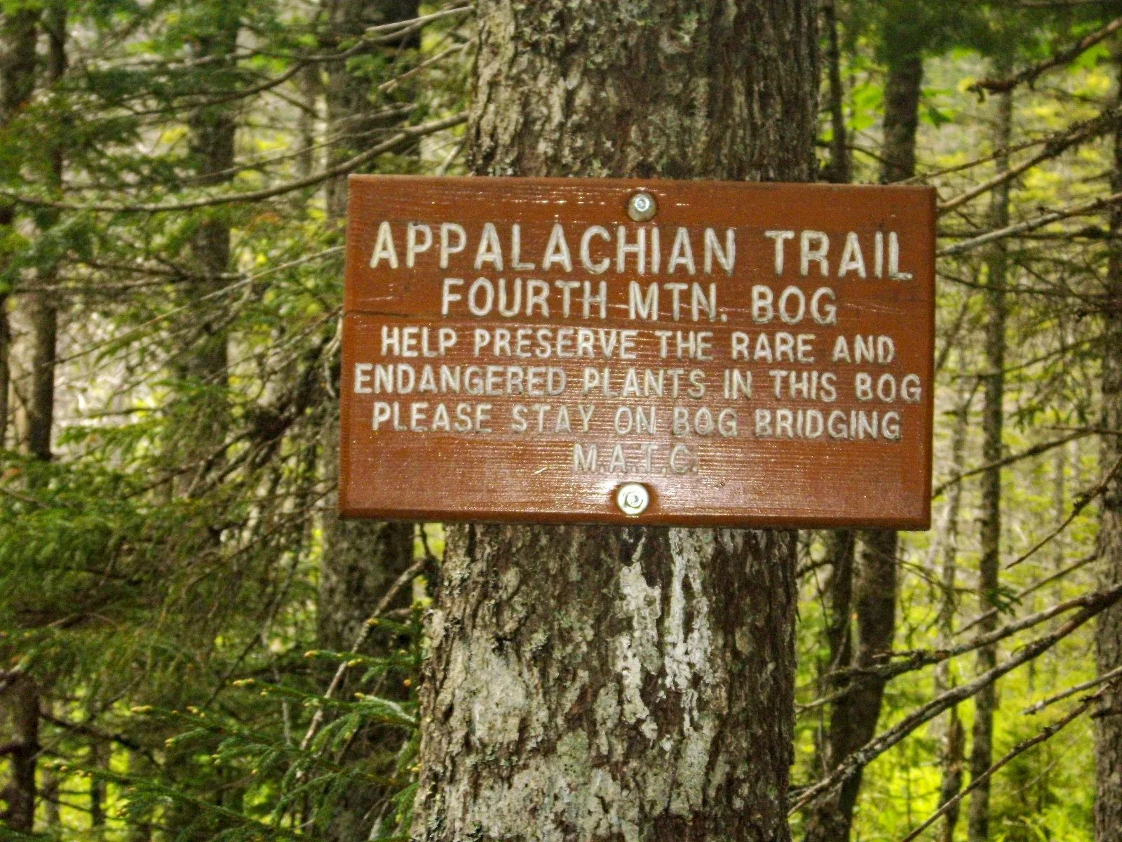
Permits: No permit required for the 100 Mile Wilderness itself, which passes through a mix of state land, private timber company land (KI Jo-Mary Multiple Use Forest), and Appalachian Trail corridor. The KI Jo-Mary section has a gate fee ($10/vehicle) but foot traffic on the AT does not pay a fee.
Katahdin: Finishing on Katahdin requires a reservation at Baxter State Park. Reservations open in early February and sell out within hours. Book before you start your hike, not after — there is no walk-up availability for Katahdin on peak summer weekends.
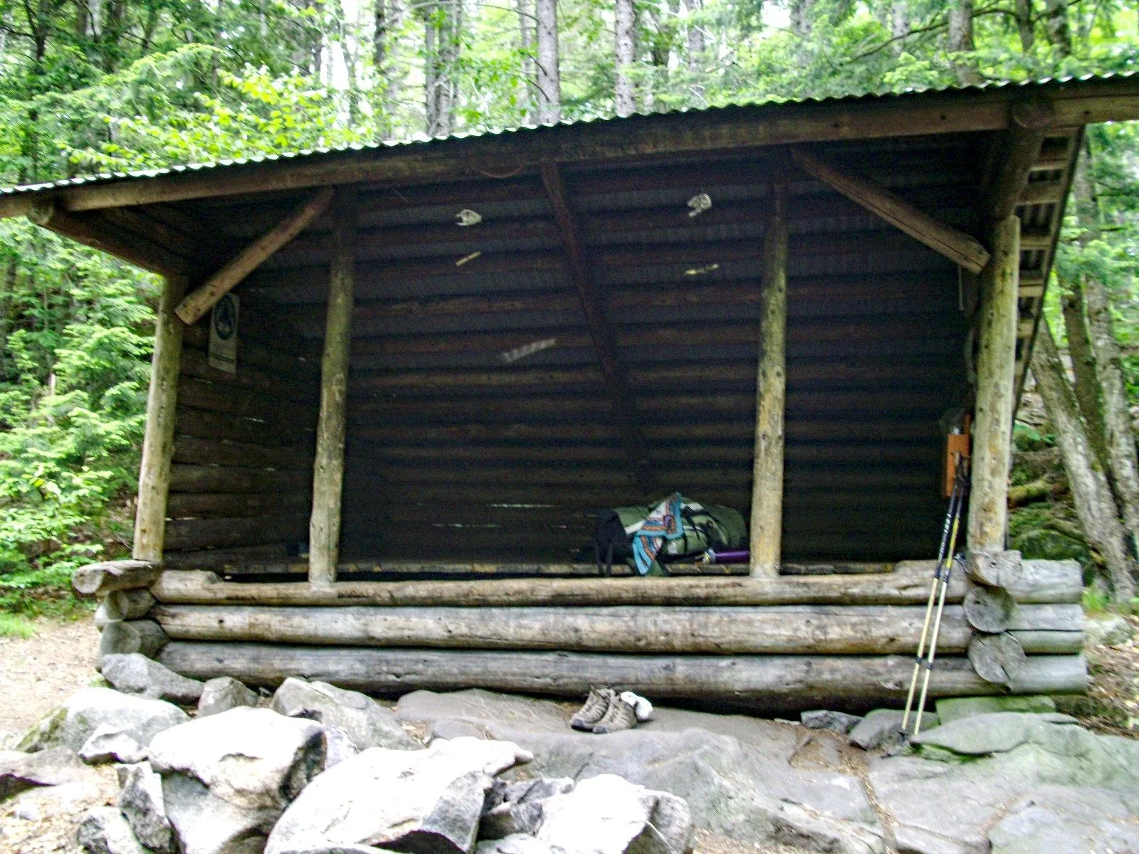
Lean-to System
The AT lean-to system through the wilderness is managed by the Maine Appalachian Trail Club (MATC). There are 27 lean-tos or tent sites along the route. All are first-come, first-served. In peak season (late July through Labor Day), popular lean-tos like Nahmakanta and Cooper Brook can fill by mid-afternoon. Carry a tent.
Wildlife
The 100 Mile Wilderness is moose country. Early morning pond crossings and boggy sections are reliable viewing spots.
 Loons call from virtually every lake at dusk. Bears are present throughout — hang food or use a canister (required in some lean-to areas). Bobcat, marten, and lynx are possible but rarely seen.
Blackflies (late May through June) and mosquitoes (June through July) are genuinely brutal. A headnet is not optional in June.
Starting in Monson
Shaw’s Hostel in Monson is the traditional jumping-off point and has been hosting AT hikers since the 1970s. They offer shuttle service from Bangor, gear rentals, a bunkhouse, and private rooms. The Lakeshore House is a second option in town. Most hikers spend one night in Monson, sort gear, and start at first light.
Monson itself is a former slate-quarrying village of ~650 people. There’s one general store, one restaurant (Pie Lady, seasonal), a gas station, and not much else — which is exactly the point.
Who This Is For
The 100 Mile Wilderness is not an ambitious day hike. It’s a serious multi-day backpacking expedition through genuine wilderness. You should be comfortable with:
- Navigation by map and compass (cell service is effectively zero for the first 70 miles)
- River crossings in moving water
- Bear country food storage
- 15+ mile days with a loaded pack
- Weather that changes fast — the highlands can see rain, fog, and cold in any month
If you’re new to multi-day backpacking, start with a section of the Bigelow Range or an overnight at Gulf Hagas and work up.