A remote gorge hike through Maine's most dramatic slot canyon — waterfalls, slate walls, swimming holes, and wilderness solitude in the 100 Mile Wilderness.
Gulf Hagas earns the “Grand Canyon of Maine” nickname. A three-mile slate gorge carved by the Pleasant River, it drops up to 130 feet in places, with a succession of named waterfalls, dark plunge pools, and canyon walls that block out the sky. It’s completely off the radar for most tourists, which means you’ll share it with almost no one.
Getting There
This is the most important planning step. Gulf Hagas sits inside the KI Jo-Mary Multiple Use Forest, a private working forest that charges a gate fee. To reach the trailhead you need to:
- Enter at the Brownville Junction checkpoint on Katahdin Iron Works Road (north of Brownville off Route 11)
- Pay the gate fee — currently $10/vehicle for non-Maine residents, $8 for residents
- Drive ~7 miles on gravel road to the Katahdin Iron Works historic site
- Cross the West Branch at the ford (passable in a standard vehicle in summer) to the main trailhead parking
GPS coordinates are for the parking area at Katahdin Iron Works. Bring cash. Cell service ends well before the gate.
The Route
The Gulf Hagas loop runs counterclockwise for most hikers: head out on the Appalachian Trail / Pleasant River Road to the gorge rim, traverse the full canyon rim, then return on the Rim Trail back toward the trailhead.
Key landmarks:
- 0.0 mi — Katahdin Iron Works trailhead parking
- 1.6 mi — AT junction; leave the AT and bear toward the gorge
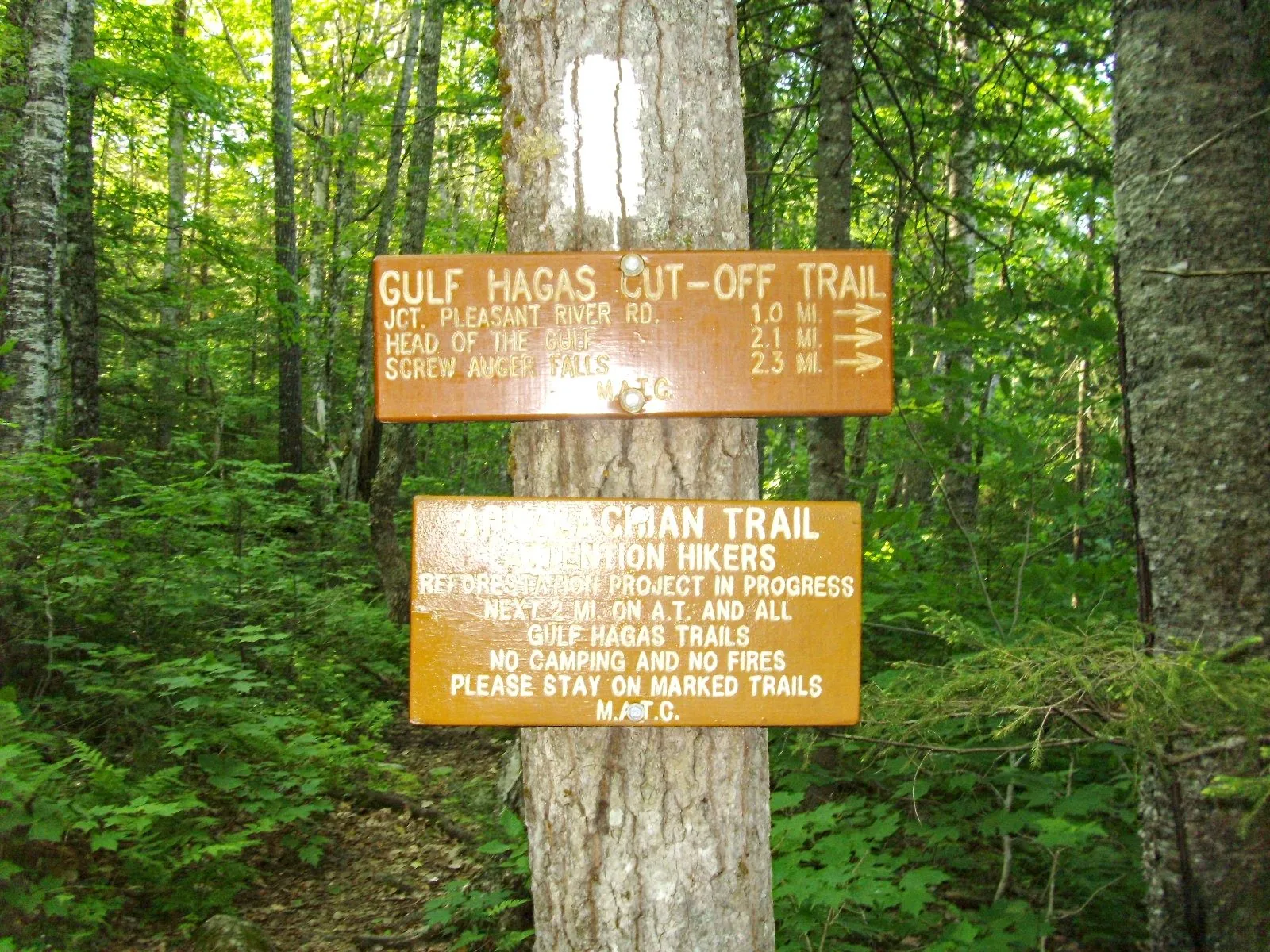
- 2.1 mi — Screw Auger Falls — 23-ft drop into a circular pool; the most photographed spot in the gorge
- 2.8 mi — The Jaws — canyon narrows to 10 feet wide
- 3.5 mi — Billings Falls and Hammond Street Pitch
- 4.5 mi — Head of the Gulf (upper end of the canyon)
- 8.3 mi — Back at trailhead
The Gorge
The Pleasant River carved Gulf Hagas through Devonian-era slate over millions of years. At The Jaws the walls pinch to under 10 feet wide and rise 30-40 feet above the water. Screw Auger Falls drops in a spiral chute into a perfectly round pool — swimmers wade in all summer, though the water stays cold. Later in the canyon, Billings Falls is wider and less dramatic but has the best swimming hole.
The trail along the rim requires scrambling over exposed roots and rocks with some serious exposure above the drop. It’s never technical climbing, but full attention is required — a fall here would be bad.
What Makes It Hard
The difficulty rating is about terrain, not elevation. The Rim Trail is relentlessly rooty and rocky. You’re climbing over and ducking under blowdowns, navigating slippery ledge above the canyon edge, and doing all of this on a remote trail where help is a long walk out. It takes most fit hikers 4–5 hours.
Season & Conditions
Best: Late July through September — water levels are manageable for the Pleasant River crossing, the swimming holes are warm enough to use, and bugs are fading. Avoid spring — the river crossing can be thigh-deep and fast in May, and the rim trail turns to mud.
Blackflies are vicious in June. Come prepared.
Overnight Option
The AT corridor has a lean-to (Gulf Hagas Lean-to) on the Pleasant River roughly 0.5 miles before the gorge junction. Car campers can’t use it — it’s for AT hikers — but if you’re doing the 100 Mile Wilderness section, this makes an excellent lunch stop or overnight.